File:Map of Ukraine political simple City Sewastopol.png
Jump to navigation
Jump to search

Size of this preview: 800 × 533 pixels. Other resolutions: 320 × 213 pixels | 640 × 426 pixels | 1,024 × 682 pixels | 1,200 × 799 pixels.
Original file (1,200 × 799 pixels, file size: 193 KB, MIME type: image/png)
File history
Click on a date/time to view the file as it appeared at that time.
| Date/Time | Thumbnail | Dimensions | User | Comment | |
|---|---|---|---|---|---|
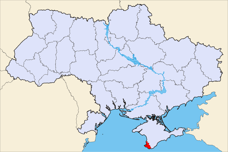
| current | 20:28, 6 June 2010 | | 1,200 × 799 (193 KB) | commons>Buka | Севастополь - не маленька крапочка в АР Крим, а окрема адміністративно-територіальна одиниця |
File usage
There are no pages that use this file.