File:Map of South Carolina highlighting Sumter County.svg
Jump to navigation
Jump to search

Size of this PNG preview of this SVG file: 752 × 599 pixels. Other resolutions: 301 × 240 pixels | 602 × 480 pixels | 964 × 768 pixels | 1,280 × 1,020 pixels | 2,560 × 2,040 pixels | 1,473 × 1,174 pixels.
Original file (SVG file, nominally 1,473 × 1,174 pixels, file size: 71 KB)
Summary
| Description |
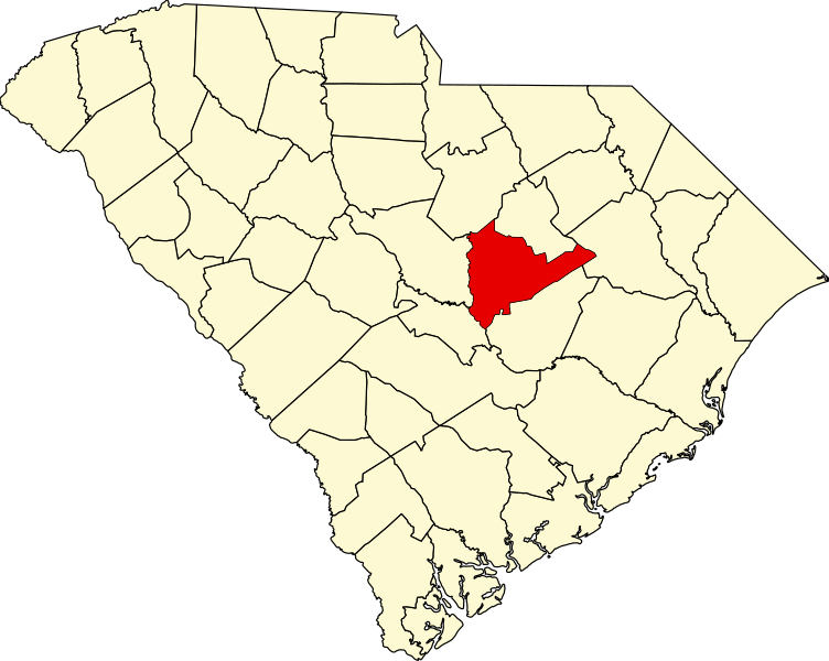
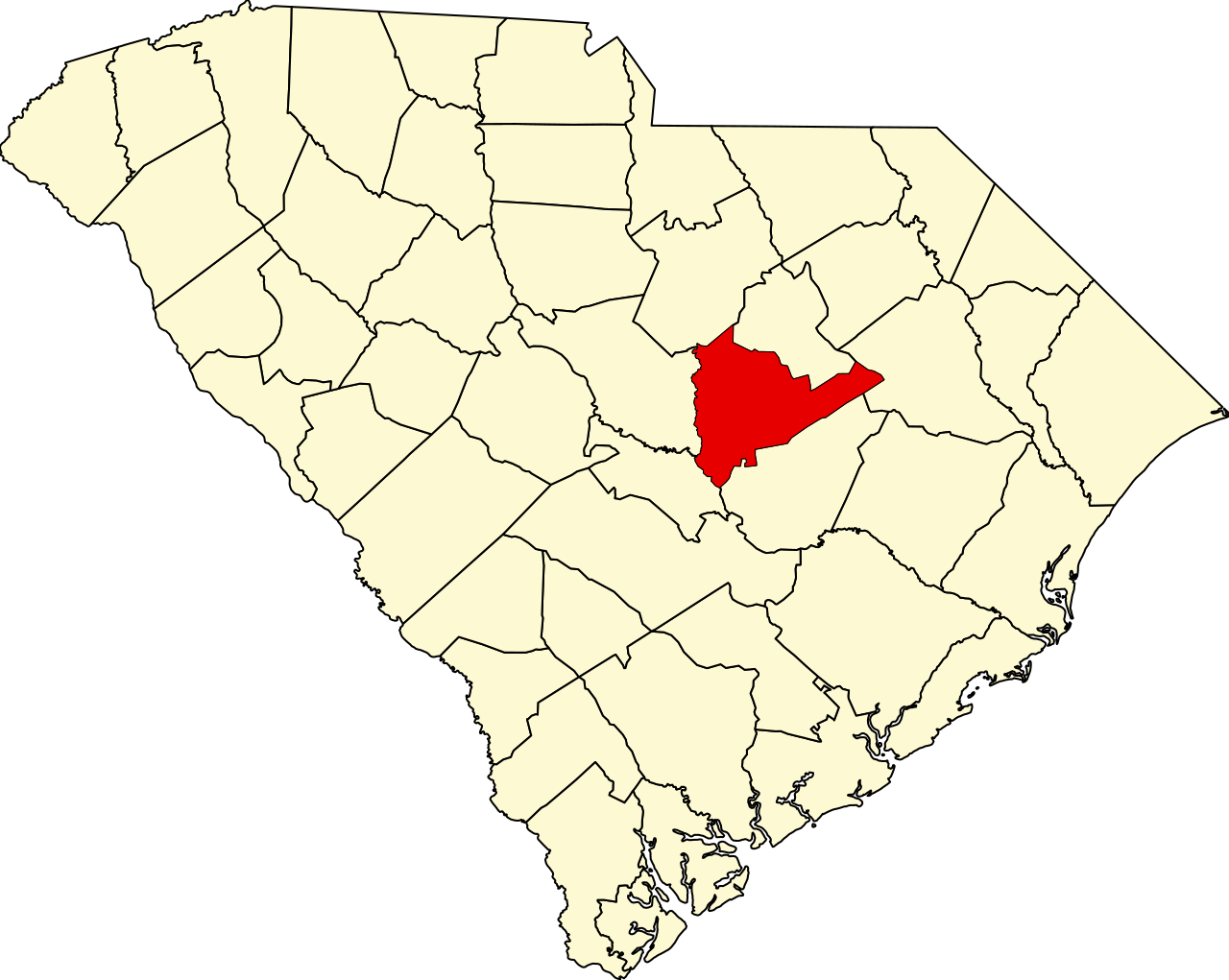
Locator map of Sumter County — in South Carolina.
|
| Date | 12 February 2006 (original upload date) |
| Source | No machine-readable source provided. Own work assumed (based on copyright claims). |
| Author | No machine-readable author provided. David Benbennick assumed (based on copyright claims). |
Licensing
| I, the copyright holder of this work, release this work into the public domain. This applies worldwide. In some countries this may not be legally possible; if so: I grant anyone the right to use this work for any purpose, without any conditions, unless such conditions are required by law. |
File history
Click on a date/time to view the file as it appeared at that time.
| Date/Time | Thumbnail | Dimensions | User | Comment | |
|---|---|---|---|---|---|
| current | 23:47, 24 June 2024 | | 1,473 × 1,174 (71 KB) | commons>Nux | fix rendering (remove clipping) |
File usage
There are no pages that use this file.