File:Map of Santiago del Estero.svg
Jump to navigation
Jump to search

Size of this PNG preview of this SVG file: 432 × 599 pixels. Other resolutions: 173 × 240 pixels | 346 × 480 pixels | 553 × 768 pixels | 738 × 1,024 pixels | 1,476 × 2,048 pixels | 1,800 × 2,497 pixels.
Original file (SVG file, nominally 1,800 × 2,497 pixels, file size: 878 KB)
File history
Click on a date/time to view the file as it appeared at that time.
| Date/Time | Thumbnail | Dimensions | User | Comment | |
|---|---|---|---|---|---|
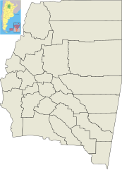
| current | 22:24, 29 July 2010 | | 1,800 × 2,497 (878 KB) | commons>Pertile | {{Information |Description={{en|1=Map of Santiago del Estero Province, and its departaments.}} {{es|1=Mapa de la Provincia de Santiago del Estero y sus departamentos.}} |Source={{own}} |Author=Pertile |Date=2010-07-28 |Permission= |other_ |
File usage
There are no pages that use this file.