File:Map of San On in Kwangtung 1866.jpg
Jump to navigation
Jump to search

Size of this preview: 737 × 599 pixels. Other resolutions: 295 × 240 pixels | 590 × 480 pixels | 944 × 768 pixels | 1,259 × 1,024 pixels | 2,100 × 1,708 pixels.
Original file (2,100 × 1,708 pixels, file size: 901 KB, MIME type: image/jpeg)
File history
Click on a date/time to view the file as it appeared at that time.
| Date/Time | Thumbnail | Dimensions | User | Comment | |
|---|---|---|---|---|---|
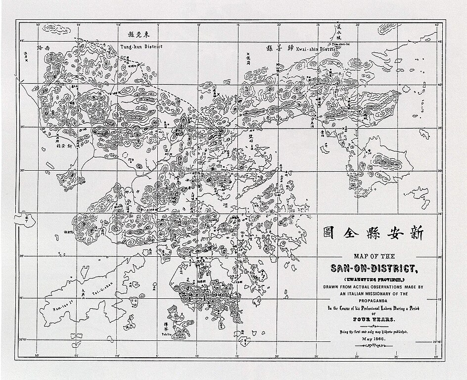
| current | 14:06, 13 November 2008 | | 2,100 × 1,708 (901 KB) | commons>Stewart | {{Information |Description={{zh|zh:1866年新安縣全圖。}} {{en|Map of en:Xin'an County (in Canton) (in en:Canton) in en:1866.}} |Source={{zh|來自互聯網。}} {{en|From internet.}} |Date=uploaded on 2008-1 |
File usage
There are no pages that use this file.