File:Map of SWFC's early home grounds.png
Jump to navigation
Jump to search
Size of this preview: 342 × 599 pixels. Other resolutions: 137 × 240 pixels | 274 × 480 pixels.
Original file (800 × 1,401 pixels, file size: 95 KB, MIME type: image/png)
File history
Click on a date/time to view the file as it appeared at that time.
| Date/Time | Thumbnail | Dimensions | User | Comment | |
|---|---|---|---|---|---|
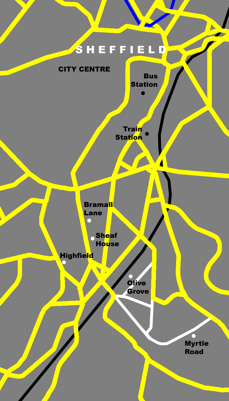
| current | 16:09, 9 January 2008 | | 800 × 1,401 (95 KB) | commons>Dan1980 | == Summary == {{Information |Description=Map of Bramall Lane area of Sheffield showing the location of early home grounds of 'The Wednesday' (Sheffield Wednesday F.C.) on a modern day map.<br>Featured on the map are (north to south) [[w:Pond Street bus st |
File usage
There are no pages that use this file.