File:Map of Russia - Ural Federal District (2018 composition).svg
Jump to navigation
Jump to search

Size of this PNG preview of this SVG file: 800 × 462 pixels. Other resolutions: 320 × 185 pixels | 640 × 369 pixels | 1,024 × 591 pixels | 1,280 × 738 pixels | 2,560 × 1,477 pixels | 1,092 × 630 pixels.
Original file (SVG file, nominally 1,092 × 630 pixels, file size: 61 KB)
.svg)
File history
Click on a date/time to view the file as it appeared at that time.
| Date/Time | Thumbnail | Dimensions | User | Comment | |
|---|---|---|---|---|---|
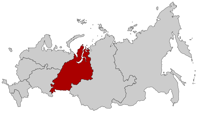
| current | 13:59, 2 December 2018 | | 1,092 × 630 (61 KB) | commons>Seryo93 | == {{int:filedesc}} == {{Information |Description={{en|Map Russia highlighting the Ural Federal district as of 2018-11-03.}} {{es|Ubicación del Distrito Federal de los Urales en la Federación Rusa}} {{Ru|Уральский федеральный округ}} |Source={{Derived from|Map of Russia - Urals Federal District.svg|Map of Russia - Far Eastern Federal District (2018 composition).svg|display=50}} |Date=2018-12-02 13:58 (UTC) |Author= * [[:File:Map of Russia - Urals Federal Di... |
File usage
There are no pages that use this file.
.svg)