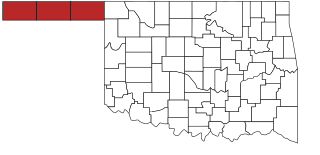
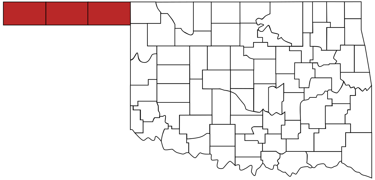
File:Map of Oklahoma highlighting Panhandle.svg
Jump to navigation
Jump to search

Size of this PNG preview of this SVG file: 800 × 386 pixels. Other resolutions: 320 × 154 pixels | 640 × 308 pixels | 1,024 × 494 pixels | 1,280 × 617 pixels | 2,560 × 1,234 pixels | 973 × 469 pixels.
Original file (SVG file, nominally 973 × 469 pixels, file size: 50 KB)
File history
Click on a date/time to view the file as it appeared at that time.
| Date/Time | Thumbnail | Dimensions | User | Comment | |
|---|---|---|---|---|---|
| current | 20:49, 24 August 2011 | | 973 × 469 (50 KB) | commons>Derfel73 | {{Information |Description ={{en|1=The Oklahoma Panhandle}} |Source ={{Derived from|Oklahoma_county_map.svg}} |Author =User:Derfel73; User:Scott Nazelrod |Date =2011-08-24 |Permission = |other_versions = }} [[Cate |
File usage
There are no pages that use this file.