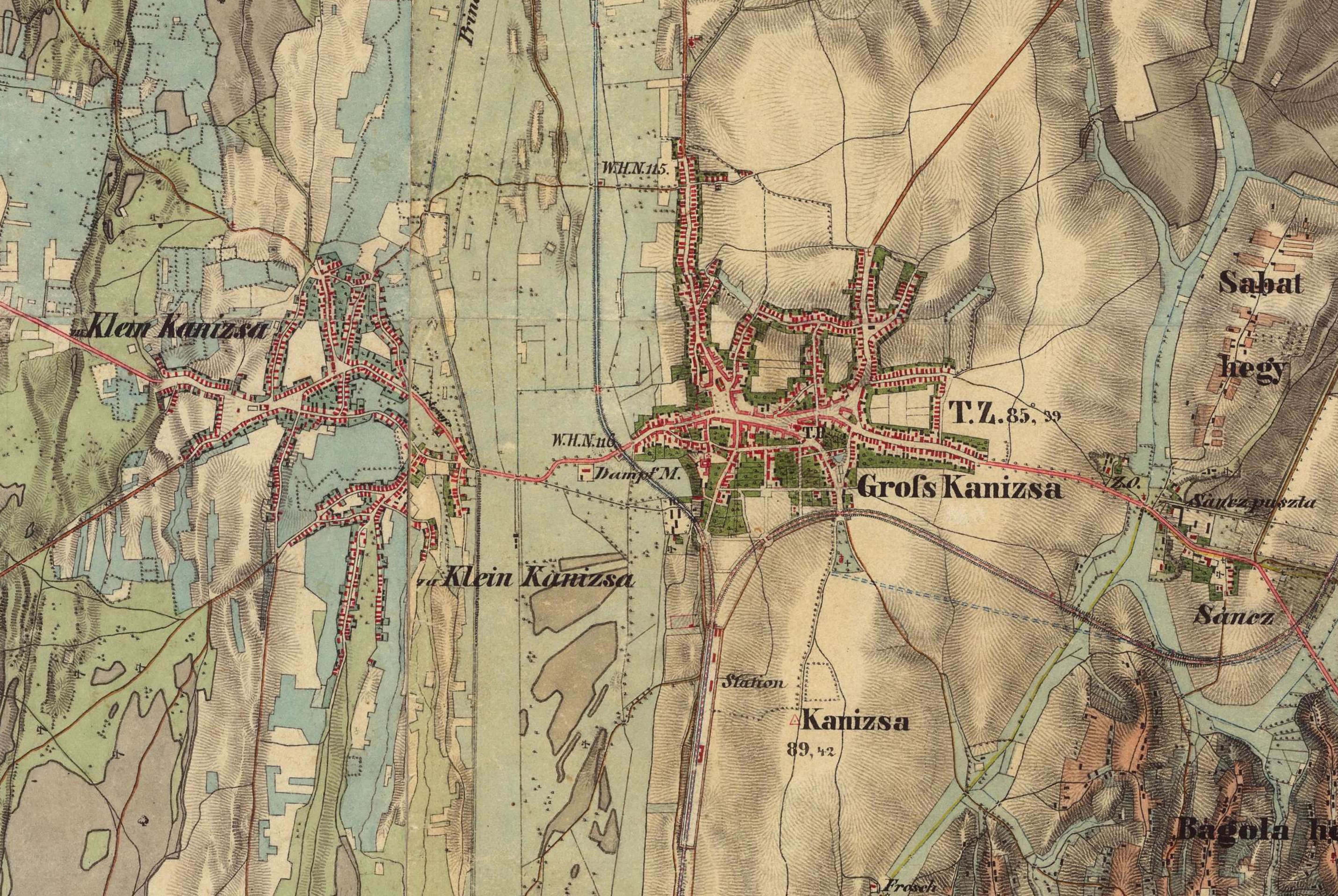
File:Map of Nagykanizsa and Kiskanizsa at the middle of the 19th century.jpg
Jump to navigation
Jump to search
Size of this preview: 800 × 536 pixels. Other resolutions: 320 × 214 pixels | 640 × 429 pixels | 1,024 × 686 pixels | 1,280 × 858 pixels | 2,560 × 1,715 pixels | 5,722 × 3,834 pixels.
Original file (5,722 × 3,834 pixels, file size: 5.67 MB, MIME type: image/jpeg)
File history
Click on a date/time to view the file as it appeared at that time.
| Date/Time | Thumbnail | Dimensions | User | Comment | |
|---|---|---|---|---|---|
| current | 08:25, 20 July 2023 | | 5,722 × 3,834 (5.67 MB) | commons>Sylvain5791 | Uploaded a work by Hungary (1819–1869) - Second military survey of the Habsburg Empire from https://maps.arcanum.com/en/map/secondsurvey-hungary/?layers=5&bbox=1883409.7422378152%2C5850434.620446173%2C1897923.2229834632%2C5855546.346712743 with UploadWizard |
File usage
There are no pages that use this file.