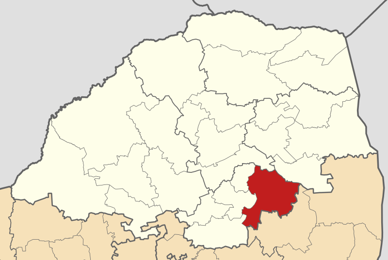
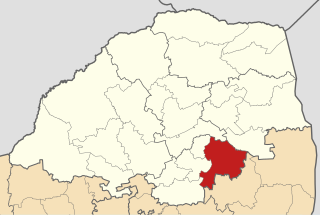
File:Map of Limpopo with Greater Tubatse highlighted (2011).svg
Jump to navigation
Jump to search

Size of this PNG preview of this SVG file: 800 × 537 pixels. Other resolutions: 320 × 215 pixels | 640 × 430 pixels | 1,024 × 687 pixels | 1,280 × 859 pixels | 2,560 × 1,719 pixels | 925 × 621 pixels.
Original file (SVG file, nominally 925 × 621 pixels, file size: 267 KB)
.svg)
File history
Click on a date/time to view the file as it appeared at that time.
| Date/Time | Thumbnail | Dimensions | User | Comment | |
|---|---|---|---|---|---|
| current | 01:11, 14 May 2011 | | 925 × 621 (267 KB) | commons>Htonl | == Summary == {{Information |Description ={{en|1=Map of municipal boundaries in w:Limpopo, as they will be after the municipal elections of 18 May 2011, with the [[w:Greater Tubatse Local Municipality|] |
File usage
There are no pages that use this file.
.svg)