File:Map of KwaZulu-Natal with Amajuba highlighted (2011).svg
Jump to navigation
Jump to search

Size of this PNG preview of this SVG file: 530 × 599 pixels. Other resolutions: 212 × 240 pixels | 424 × 480 pixels | 679 × 768 pixels | 906 × 1,024 pixels | 1,811 × 2,048 pixels | 712 × 805 pixels.
Original file (SVG file, nominally 712 × 805 pixels, file size: 500 KB)
.svg)
File history
Click on a date/time to view the file as it appeared at that time.
| Date/Time | Thumbnail | Dimensions | User | Comment | |
|---|---|---|---|---|---|
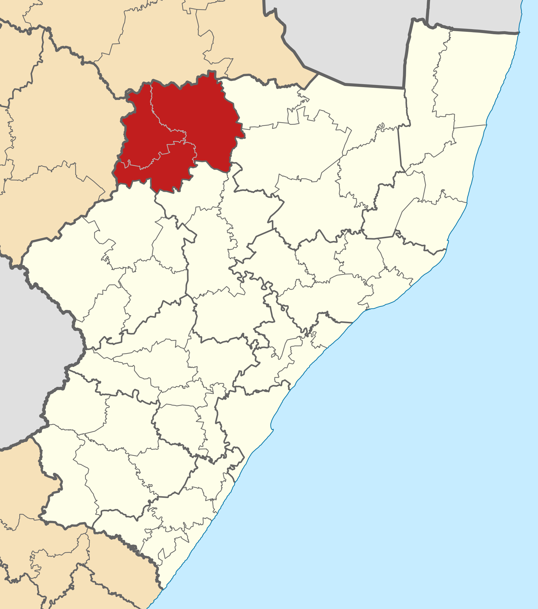
| current | 20:05, 13 May 2011 | | 712 × 805 (500 KB) | commons>Htonl | == Summary == {{Information |Description ={{en|1=Map of municipal boundaries in w:KwaZulu-Natal, as they will be after the municipal elections of 18 May 2011, with the [[w:Amajuba District Municipality| |
File usage
There are no pages that use this file.
.svg)