File:Map of Jefferson County Ohio Highlighting Wayne Township.png
Jump to navigation
Jump to search

Size of this preview: 338 × 598 pixels. Other resolutions: 135 × 240 pixels | 400 × 708 pixels.
Original file (400 × 708 pixels, file size: 29 KB, MIME type: image/png)
File history
Click on a date/time to view the file as it appeared at that time.
| Date/Time | Thumbnail | Dimensions | User | Comment | |
|---|---|---|---|---|---|
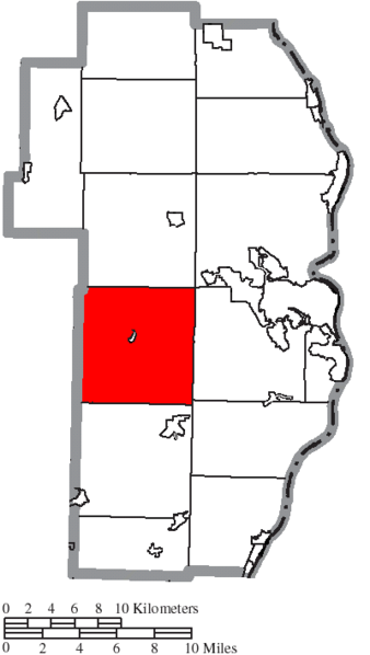
| current | 14:06, 16 August 2015 | | 400 × 708 (29 KB) | commons>Nyttend | {{Information |Description={{en|Map of the municipal and township boundaries of {{w|Jefferson County, Ohio|Jefferson County}}, {{w|Ohio}}, {{w|United States}}, as of the 2000 census, with the location of {{w|Wayne Township, Jefferson County, Ohio|Wayne... |
File usage
There are no pages that use this file.