File:Map of Iburi Subprefecture - Location Map.svg
Jump to navigation
Jump to search

Size of this PNG preview of this SVG file: 448 × 312 pixels. Other resolutions: 320 × 223 pixels | 640 × 446 pixels | 1,024 × 713 pixels | 1,280 × 891 pixels | 2,560 × 1,783 pixels.
Original file (SVG file, nominally 448 × 312 pixels, file size: 17 KB)
File history
Click on a date/time to view the file as it appeared at that time.
| Date/Time | Thumbnail | Dimensions | User | Comment | |
|---|---|---|---|---|---|
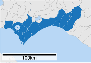
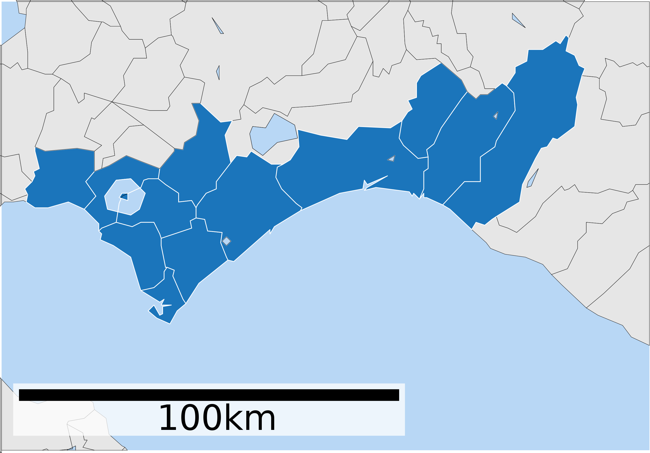
| current | 02:25, 29 July 2019 | | 448 × 312 (17 KB) | commons>The Navigators | {{Information |description={{en|Map of {{w|Iburi Subprefecture}}. {{Legend|#1b75bb|Iburi Subprefecture.}} {{Legend|#e5e5e5|Areas outside of Iburi Subprefecture.}}}} |date=28 July 2019 |source={{w|3=ja|ファイル:基礎自治体位置図 01586.svg}} |author= * Original map: {{u|Lincun}} *This file: {{u|The Navigators}} |permission= |other versions =<gallery> ファイル:基礎自治体位置図 01586.svg|Derived from this file. Map_of_Iburi_Subprefecture_-_Labelled.svg|Same map, but with labels for identifying villages, towns and cities.... |
File usage
There are no pages that use this file.