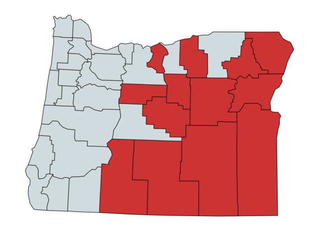
File:Map of Greater Idaho counties as of May 2024.png
Jump to navigation
Jump to search

Size of this preview: 800 × 590 pixels. Other resolutions: 320 × 236 pixels | 640 × 472 pixels | 1,024 × 755 pixels | 1,280 × 944 pixels | 2,560 × 1,888 pixels | 3,909 × 2,883 pixels.
Original file (3,909 × 2,883 pixels, file size: 751 KB, MIME type: image/png)
File history
Click on a date/time to view the file as it appeared at that time.
| Date/Time | Thumbnail | Dimensions | User | Comment | |
|---|---|---|---|---|---|
| current | 00:51, 23 May 2024 | | 3,909 × 2,883 (751 KB) | commons>StAnselm | Uploaded own work with UploadWizard |
File usage
There are no pages that use this file.