File:Map of Fernando de Noronha-fr.svg
Jump to navigation
Jump to search

Size of this PNG preview of this SVG file: 800 × 554 pixels. Other resolutions: 320 × 222 pixels | 640 × 443 pixels | 1,024 × 709 pixels | 1,280 × 886 pixels | 2,560 × 1,772 pixels | 1,300 × 900 pixels.
Original file (SVG file, nominally 1,300 × 900 pixels, file size: 28 KB)
File history
Click on a date/time to view the file as it appeared at that time.
| Date/Time | Thumbnail | Dimensions | User | Comment | |
|---|---|---|---|---|---|
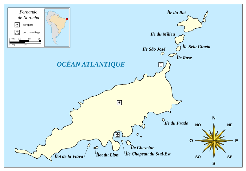
| current | 12:56, 16 August 2010 | | 1,300 × 900 (28 KB) | commons>Xfigpower | {{Information |Description={{fr|1=Carte de l'archipel Fernando de Noronha.}} |Source=*File:Map_of_Fernando_de_Noronha-en.svg |Date=2010-08-16 12:55 (UTC) |Author=*File:Map_of_Fernando_de_Noronha-en.svg: [[w:User:Mys |
File usage
There are no pages that use this file.