File:Map of Fairfield County, Connecticut Bridgeport Highlighted.PNG
Jump to navigation
Jump to search
No higher resolution available.
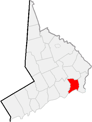
Map_of_Fairfield_County,_Connecticut_Bridgeport_Highlighted.PNG (323 × 429 pixels, file size: 9 KB, MIME type: image/png)
File history
Click on a date/time to view the file as it appeared at that time.
| Date/Time | Thumbnail | Dimensions | User | Comment | |
|---|---|---|---|---|---|
| current | 01:12, 4 September 2009 | | 323 × 429 (9 KB) | commons>Gökhan | {{Information |Description={{en|Some data used in this map is from the United States Census Bureau at http://factfinder.census.gov/jsp/saff/SAFFInfo.jsp?_pageId=referencemaps&_submenuId=maps_2}} |Source=Transferred from [http://en.wikipedia.org en.wikiped |
File usage
There are no pages that use this file.