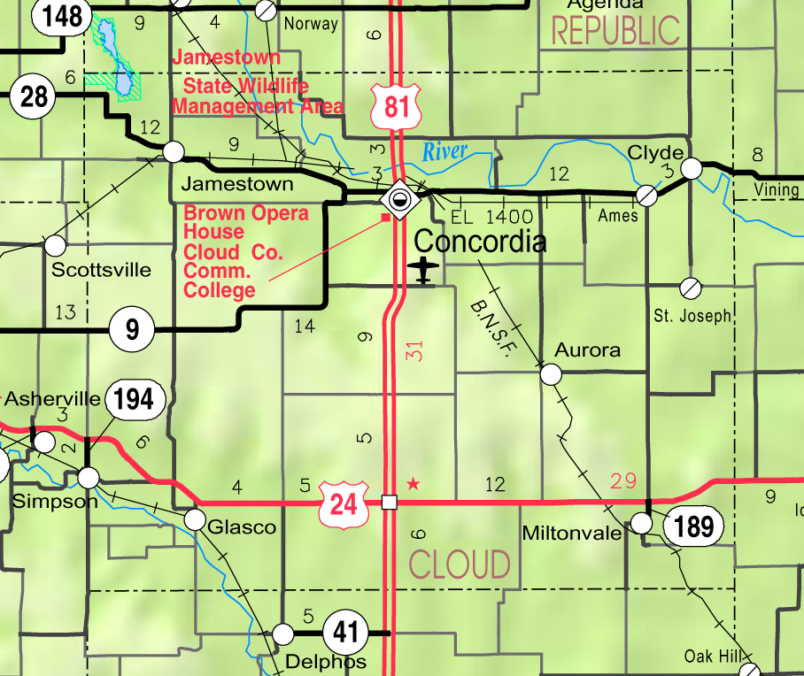
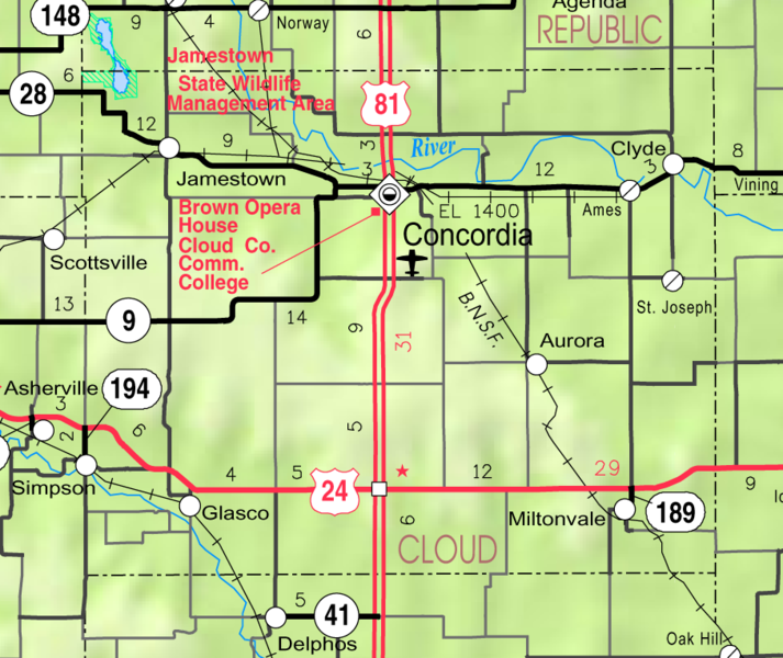
File:Map of Cloud Co, Ks, USA.png
Jump to navigation
Jump to search
Size of this preview: 713 × 600 pixels. Other resolutions: 285 × 240 pixels | 571 × 480 pixels | 908 × 764 pixels.
Original file (908 × 764 pixels, file size: 292 KB, MIME type: image/png)
File history
Click on a date/time to view the file as it appeared at that time.
| Date/Time | Thumbnail | Dimensions | User | Comment | |
|---|---|---|---|---|---|
| current | 05:40, 21 March 2006 | | 908 × 764 (292 KB) | commons>Moverton | Source: Kansas 2005-2006 Official Transportation Map {{PD-US}} |
File usage
There are no pages that use this file.