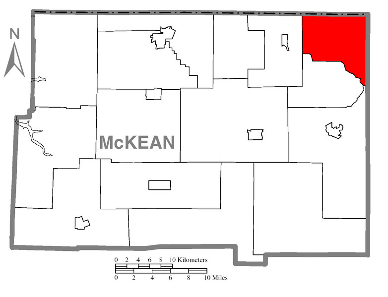
File:Map of Ceres Township, McKean County, Pennsylvania Highlighted.png
Jump to navigation
Jump to search

Size of this preview: 782 × 599 pixels. Other resolutions: 313 × 240 pixels | 626 × 480 pixels | 1,002 × 768 pixels | 1,280 × 981 pixels | 1,696 × 1,300 pixels.
Original file (1,696 × 1,300 pixels, file size: 78 KB, MIME type: image/png)
File history
Click on a date/time to view the file as it appeared at that time.
| Date/Time | Thumbnail | Dimensions | User | Comment | |
|---|---|---|---|---|---|
| current | 01:25, 10 October 2007 | | 1,696 × 1,300 (78 KB) | commons>Ruhrfisch | {{Information| |Description={{PennMapDesc|McKean|Ceres Township}} |Source=Source image taken from the United States Census Bureau's website [http://www2.census.gov/geo/maps/general_ref/cousub_outline/cen2k_pgsz/pa_cosub.pdf pa_cosub.pdf] and modified by [ |
File usage
There are no pages that use this file.