File:Map of Boston and Cambridge.png
Jump to navigation
Jump to search

Size of this preview: 800 × 600 pixels. Other resolutions: 320 × 240 pixels | 640 × 480 pixels | 1,024 × 768 pixels | 1,280 × 960 pixels | 1,600 × 1,200 pixels.
Original file (1,600 × 1,200 pixels, file size: 1.98 MB, MIME type: image/png)
File history
Click on a date/time to view the file as it appeared at that time.
| Date/Time | Thumbnail | Dimensions | User | Comment | |
|---|---|---|---|---|---|
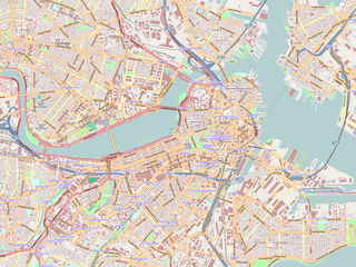
| current | 00:01, 19 June 2009 | | 1,600 × 1,200 (1.98 MB) | commons>Goyaz | {{Information |Description={{en|1=Map of the centeral area of Boston and Cambridge, exported from OpenStreetMap.}} {{ja|1=ボストン中心部及びケンブリッジの地図。[[w:ja:オープン・ストリート・マップ|オープン・スト� |
File usage
There are no pages that use this file.