File:Map of 1746. Longitudines numeratae a Primo Meridiano per Insula Ferri.jpg
Jump to navigation
Jump to search
No higher resolution available.
Map_of_1746._Longitudines_numeratae_a_Primo_Meridiano_per_Insula_Ferri.jpg (800 × 300 pixels, file size: 104 KB, MIME type: image/jpeg)
File history
Click on a date/time to view the file as it appeared at that time.
| Date/Time | Thumbnail | Dimensions | User | Comment | |
|---|---|---|---|---|---|
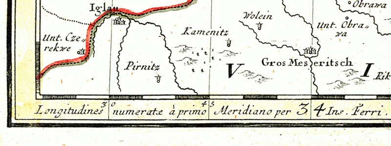
| current | 20:21, 4 December 2005 | 800 × 300 (104 KB) | commons>Julo | {{en}} Detail of the map of Silesia drawn in 1746. *Iglau = moravian city en:JihlavaJihlava *Gros Meseritsch = moravian town Velké Meziříčí On the lowest edge of the |
File usage
There are no pages that use this file.