File:Map NL - Midden-Drenthe - Drijber.png
Jump to navigation
Jump to search
No higher resolution available.
Map_NL_-_Midden-Drenthe_-_Drijber.png (800 × 600 pixels, file size: 16 KB, MIME type: image/png)
File history
Click on a date/time to view the file as it appeared at that time.
| Date/Time | Thumbnail | Dimensions | User | Comment | |
|---|---|---|---|---|---|
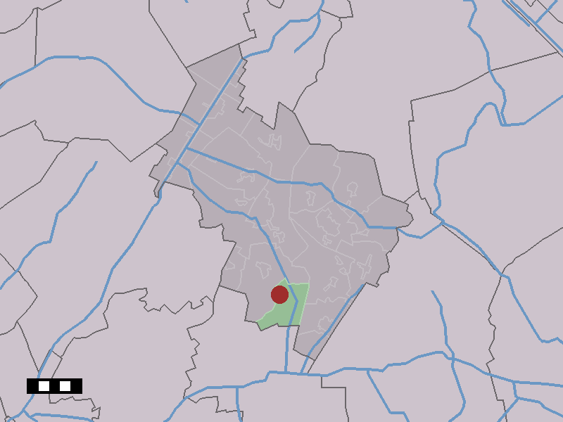
| current | 20:01, 3 April 2006 | | 800 × 600 (16 KB) | commons>Eugene van der Pijll | Map of Drijber, municipality of Midden-Drenthe, the Netherlands. {{Statistics Netherlands map}} Category:Maps of Drenthe |
File usage
There are no pages that use this file.