File:Map Iberian Peninsula 1037-es.svg
Jump to navigation
Jump to search

Size of this PNG preview of this SVG file: 800 × 555 pixels. Other resolutions: 320 × 222 pixels | 640 × 444 pixels | 1,024 × 711 pixels | 1,280 × 888 pixels | 2,560 × 1,777 pixels | 827 × 574 pixels.
Original file (SVG file, nominally 827 × 574 pixels, file size: 252 KB)
File history
Click on a date/time to view the file as it appeared at that time.
| Date/Time | Thumbnail | Dimensions | User | Comment | |
|---|---|---|---|---|---|
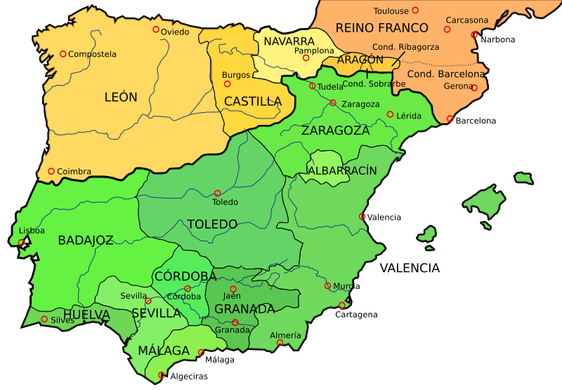
| current | 00:11, 18 January 2009 | | 827 × 574 (252 KB) | commons>Phirosiberia | {{Information |Description={{en|1=Map of the Iberian Peninsula in 1037}} {{es|1=Mapa de la Península ibérica en 1037}} |Source=File:España1037.jpg, that comes from [http://www.lib.utexas.edu/maps/historical/shepherd_1911/shepherd-c-082-083.jpg] li |
File usage
There are no pages that use this file.