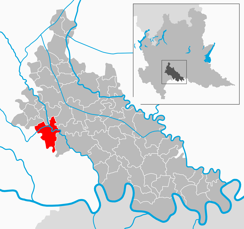
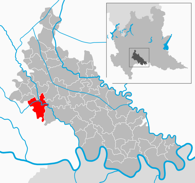
File:Map - IT - Lodi - Sant’Angelo Lodigiano.png
Jump to navigation
Jump to search
Size of this preview: 639 × 600 pixels. Other resolutions: 256 × 240 pixels | 511 × 480 pixels | 818 × 768 pixels | 1,024 × 961 pixels.
Original file (1,024 × 961 pixels, file size: 285 KB, MIME type: image/png)
File history
Click on a date/time to view the file as it appeared at that time.
| Date/Time | Thumbnail | Dimensions | User | Comment | |
|---|---|---|---|---|---|
| current | 09:47, 23 October 2010 | | 1,024 × 961 (285 KB) | commons>Arbalete | {{Information |Description={{it|1=Il comune di Sant'Angelo Lodigiano nella provincia di Lodi}} |Source={{own}} |Author=Friedrichstrasse |Date=ottobre 2010 |Permission= |other_versions= }} |
File usage
There are no pages that use this file.