File:Map-position-vaga-kommuna-2009.png
Jump to navigation
Jump to search

Size of this preview: 450 × 600 pixels. Other resolutions: 180 × 240 pixels | 600 × 800 pixels.
Original file (600 × 800 pixels, file size: 32 KB, MIME type: image/png)
File history
Click on a date/time to view the file as it appeared at that time.
| Date/Time | Thumbnail | Dimensions | User | Comment | |
|---|---|---|---|---|---|
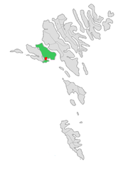
| current | 12:51, 11 January 2009 | | 600 × 800 (32 KB) | commons>Efloean | {{Information |Description=Map of Vaga kommuna in the Faroe Islands. |Source=Own work, based on map by Arne List |Date=January 11, 2009 |Author= Erik Fløan |Permission= |other_versions= }} [[Category:Map of municipali |
File usage
There are no pages that use this file.