File:Map-Prussia-PWP.svg
Jump to navigation
Jump to search

Size of this PNG preview of this SVG file: 706 × 600 pixels. Other resolutions: 283 × 240 pixels | 565 × 480 pixels | 904 × 768 pixels | 1,205 × 1,024 pixels | 2,410 × 2,048 pixels | 1,185 × 1,007 pixels.
Original file (SVG file, nominally 1,185 × 1,007 pixels, file size: 591 KB)
File history
Click on a date/time to view the file as it appeared at that time.
| Date/Time | Thumbnail | Dimensions | User | Comment | |
|---|---|---|---|---|---|
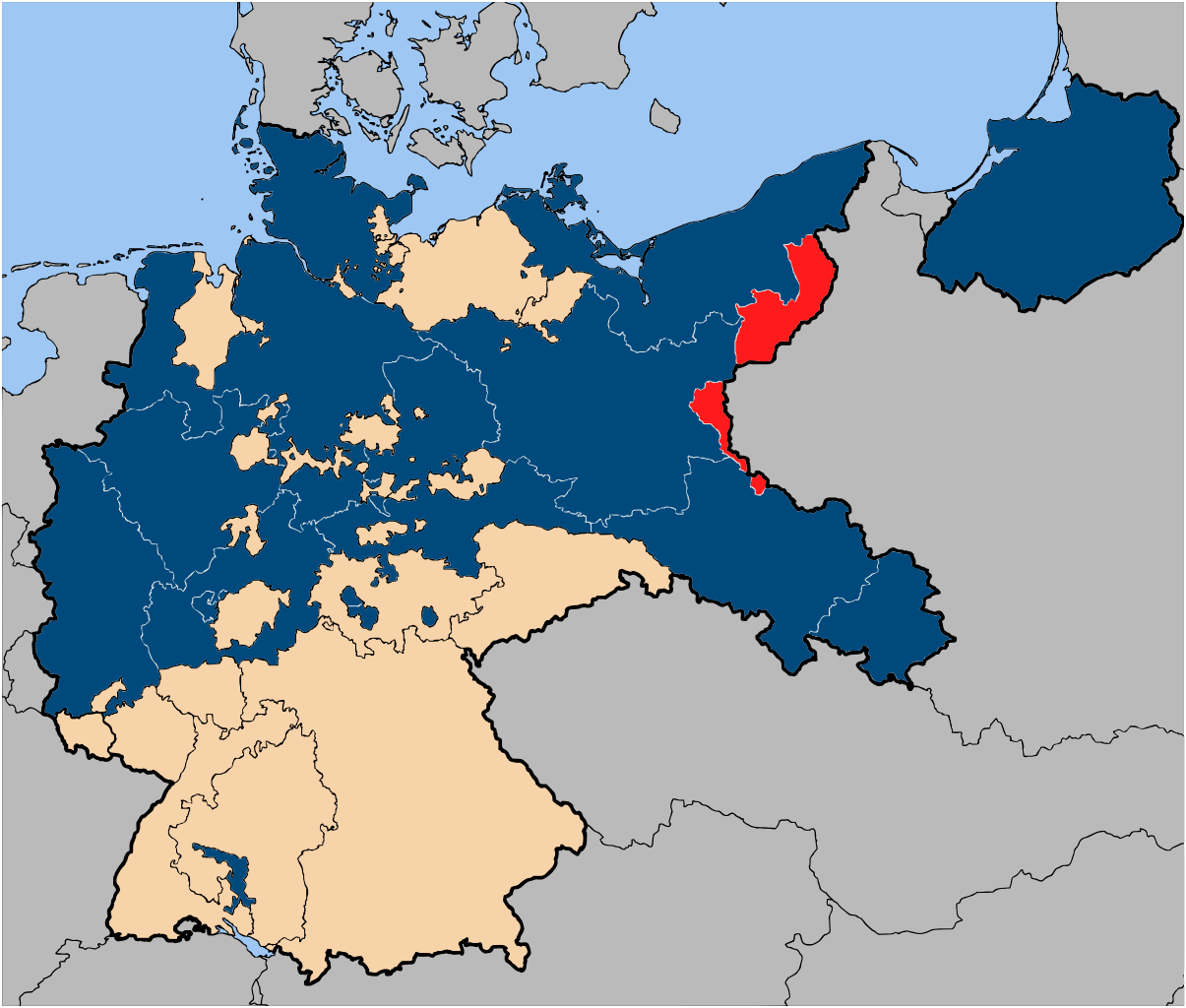
| current | 09:05, 14 January 2007 | | 1,185 × 1,007 (591 KB) | commons>52 Pickup | {{Information| |Description=The province of {{link|Posen-West Prussia}} (red), within the {{link|Free State of Prussia}} (blue). |Source= Based on map data of the IEG-Maps project (Andreas Kunz, B. Johnen and Joachim Robert Moeschl: University of Mainz) |
File usage
There are no pages that use this file.