File:Maluku Locator Topography.png
Jump to navigation
Jump to search
Size of this preview: 556 × 599 pixels. Other resolutions: 223 × 240 pixels | 446 × 480 pixels | 713 × 768 pixels | 951 × 1,024 pixels | 1,567 × 1,688 pixels.
Original file (1,567 × 1,688 pixels, file size: 765 KB, MIME type: image/png)
File history
Click on a date/time to view the file as it appeared at that time.
| Date/Time | Thumbnail | Dimensions | User | Comment | |
|---|---|---|---|---|---|
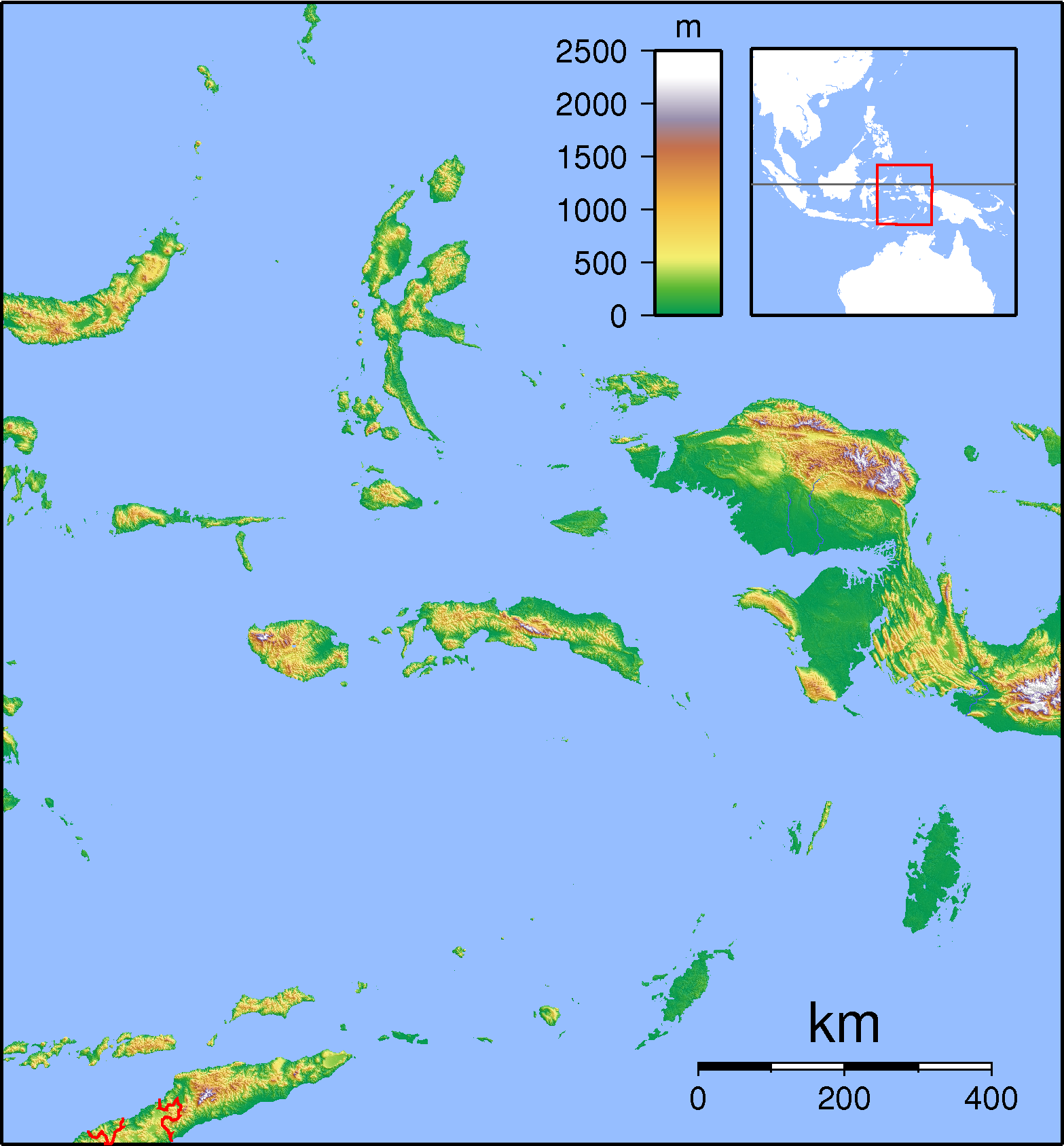
| current | 07:47, 3 September 2007 | | 1,567 × 1,688 (765 KB) | commons>Sadalmelik | {{Information |Description=Topographic locator map for Maluku Islands, Indonesia. Created with GMT from public domain SRTM data. Left: 123, bottom: -9.5, right:136 top:4.5 |Source=self-made |Date=Sep 3, 2007 |Author= Sadalmelik }} [[C |
File usage
There are no pages that use this file.