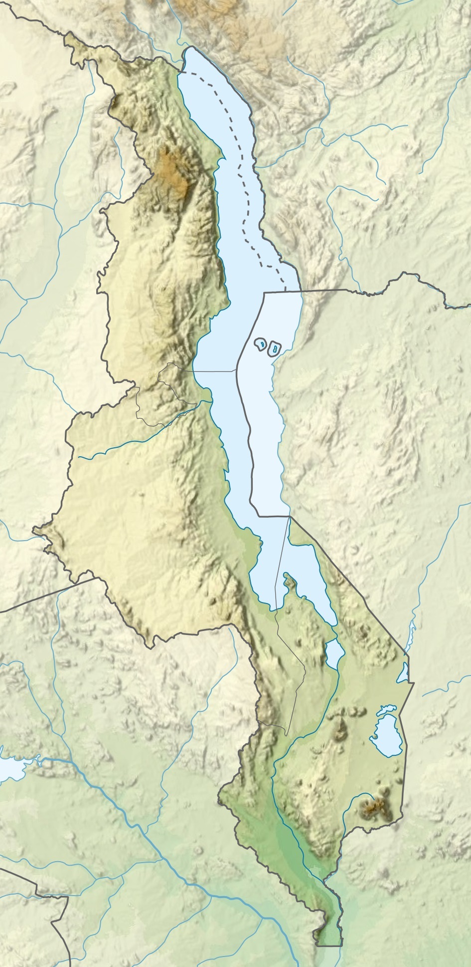
File:Malawi relief location map.jpg
Jump to navigation
Jump to search
Size of this preview: 292 × 599 pixels. Other resolutions: 117 × 240 pixels | 234 × 480 pixels | 945 × 1,937 pixels.
Original file (945 × 1,937 pixels, file size: 487 KB, MIME type: image/jpeg)
File history
Click on a date/time to view the file as it appeared at that time.
| Date/Time | Thumbnail | Dimensions | User | Comment | |
|---|---|---|---|---|---|
| current | 20:29, 3 March 2020 | | 945 × 1,937 (487 KB) | commons>Sémhur | Adding Tanzanian border claim (from https://www.nbs.go.tz/index.php/en/census-surveys/gis/385-2012-phc-shapefiles-level-one-and-two) |
File usage
There are no pages that use this file.