File:MajorVolcanoesOfThePhilippines-USGS.gif
Jump to navigation
Jump to search
No higher resolution available.
MajorVolcanoesOfThePhilippines-USGS.gif (336 × 594 pixels, file size: 18 KB, MIME type: image/gif)
| Description |
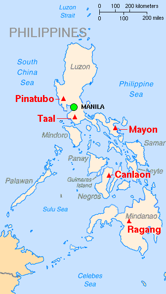
English: Map showing major volcanoes of the Philippines Français : Carte des principaux volcans aux Philippines |
|||
| Date | ||||
| Source | Archived source link | |||
| Author | Lyn Topinka, base map from CIA, volcanoes from Simkin and Siebert | |||
| Permission (Reusing this file) |
|
|||
| Other versions |
|

File history
Click on a date/time to view the file as it appeared at that time.
| Date/Time | Thumbnail | Dimensions | User | Comment | |
|---|---|---|---|---|---|
| current | 13:10, 16 February 2014 | | 336 × 594 (18 KB) | commons>Hike395 | Crop title, logo, credit line |
File usage
There are no pages that use this file.