File:MSTL Map.png
Jump to navigation
Jump to search
Size of this preview: 667 × 600 pixels. Other resolutions: 267 × 240 pixels | 534 × 480 pixels | 854 × 768 pixels | 1,038 × 933 pixels.
Original file (1,038 × 933 pixels, file size: 275 KB, MIME type: image/png)
File history
Click on a date/time to view the file as it appeared at that time.
| Date/Time | Thumbnail | Dimensions | User | Comment | |
|---|---|---|---|---|---|
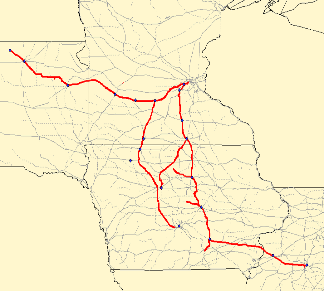
| current | 16:25, 24 June 2007 | | 1,038 × 933 (275 KB) | commons>SieBot | {{Information |Description=Map of the en:Minneapolis and St. Louis Railway. Red lines are the MSTL route; gray lines are other railroads. Created using Quantum GIS using data from [http://www.bts.gov/publications/national_transportation_atlas_data |
File usage
There are no pages that use this file.