File:MODIS Map.jpg
Jump to navigation
Jump to search

Size of this preview: 800 × 400 pixels. Other resolutions: 320 × 160 pixels | 640 × 320 pixels | 1,024 × 512 pixels | 1,280 × 640 pixels | 2,560 × 1,280 pixels | 5,400 × 2,700 pixels.
Original file (5,400 × 2,700 pixels, file size: 11.84 MB, MIME type: image/jpeg)
File history
Click on a date/time to view the file as it appeared at that time.
| Date/Time | Thumbnail | Dimensions | User | Comment | |
|---|---|---|---|---|---|
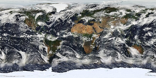
| current | 10:47, 25 February 2010 | | 5,400 × 2,700 (11.84 MB) | commons>Originalwana | {{Information |Description={{en|1=Image based largely on observations from the Moderate Resolution Imaging Spectroradiometer (MODIS). Small gaps in MODIS’ coverage between overpasses, as well as Antarctica, have been filled in using [[:Category:Geos |
File usage
There are no pages that use this file.