File:Luxembourg view from mountain.JPG
Jump to navigation
Jump to search

Size of this preview: 800 × 341 pixels. Other resolutions: 320 × 136 pixels | 640 × 273 pixels | 1,024 × 437 pixels | 1,280 × 546 pixels | 3,070 × 1,309 pixels.
Original file (3,070 × 1,309 pixels, file size: 774 KB, MIME type: image/jpeg)
Summary
| Description |
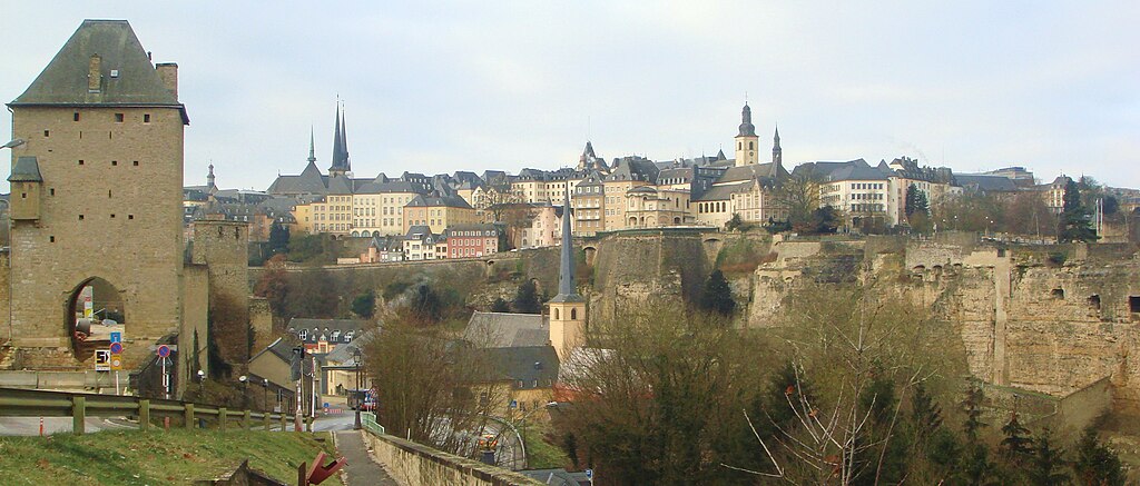
English: Luxembourg City seen from rue de Trèves: Grund and Ville-haute.
Français : Luxembourg Ville, vue à partir de la rue de Trèves: Le quartier du Grund, la vallée de l'Alzette et la Ville-haute.
Lëtzebuergesch: D'Stad Lëtzebuerg vun der Tréiererstrooss aus gesinn: de Gronn, d'Uelzechtdall an d'Uewerstad. |
| Date | |
| Source | Own work |
| Author | Shikhlinski |
| Camera location | | View this and other nearby images on: OpenStreetMap |
|---|
Licensing
| I, the copyright holder of this work, release this work into the public domain. This applies worldwide. In some countries this may not be legally possible; if so: I grant anyone the right to use this work for any purpose, without any conditions, unless such conditions are required by law. |
File history
Click on a date/time to view the file as it appeared at that time.
| Date/Time | Thumbnail | Dimensions | User | Comment | |
|---|---|---|---|---|---|
| current | 11:32, 14 January 2010 | | 3,070 × 1,309 (774 KB) | commons>Shikhlinski | {{Information |Description={{en|1=Luxembourg_view_from_mountain.}} |Source={{own}} |Author=Shikhlinski |Date=2010-01-03 |Permission= |other_versions= }} Category:Luxembourg (city) |
File usage
There are no pages that use this file.