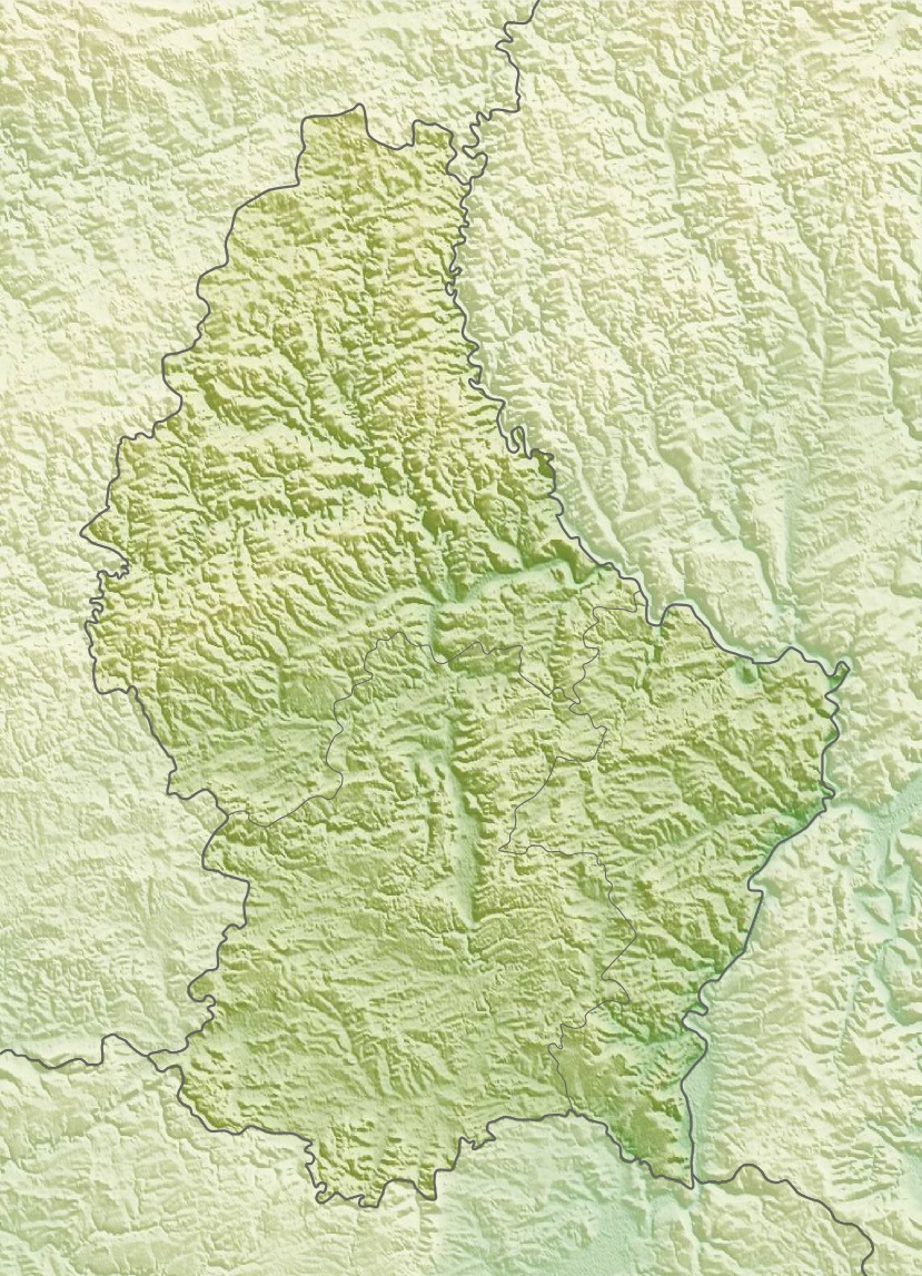
File:Luxembourg relief location map.jpg
Jump to navigation
Jump to search
Size of this preview: 433 × 599 pixels. Other resolutions: 173 × 240 pixels | 347 × 480 pixels | 829 × 1,147 pixels.
Original file (829 × 1,147 pixels, file size: 481 KB, MIME type: image/jpeg)
File history
Click on a date/time to view the file as it appeared at that time.
| Date/Time | Thumbnail | Dimensions | User | Comment | |
|---|---|---|---|---|---|
| current | 14:39, 10 March 2010 | | 829 × 1,147 (481 KB) | commons>Carport | {{Information |Description={{de|Physische Positionskarte von {{w|Luxemburg|3=de}}}} Quadratische Plattkarte. Geographische Begrenzung der Karte: * N: 50.25° N * S: 49.4° N * W: 5.65° O * O: 6.6° O {{en|Physical location map of {{w|Luxembourg}}}} Equir |
File usage
There are no pages that use this file.