File:Lower Egypt ancient nomes position map.jpg
Jump to navigation
Jump to search
No higher resolution available.
Lower_Egypt_ancient_nomes_position_map.jpg (564 × 249 pixels, file size: 28 KB, MIME type: image/jpeg)
File history
Click on a date/time to view the file as it appeared at that time.
| Date/Time | Thumbnail | Dimensions | User | Comment | |
|---|---|---|---|---|---|
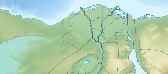
| current | 20:31, 19 June 2011 | | 564 × 249 (28 KB) | commons>Bogomolov.PL | {{Information |Description={{en|Location map of Lower Egypt <br/> Topographic scale: 1:4,932,000 (precision: 1,233 m)<br/> Equirectangular projection, WGS84 datum<br/> *Standard meridian: 030° 45' E<br/> *Central parallel: 26° 42' N |
File usage
There are no pages that use this file.