File:Long Riston - geograph.org.uk - 35339.jpg
Jump to navigation
Jump to search
No higher resolution available.
Long_Riston_-_geograph.org.uk_-_35339.jpg (640 × 480 pixels, file size: 104 KB, MIME type: image/jpeg)
Summary
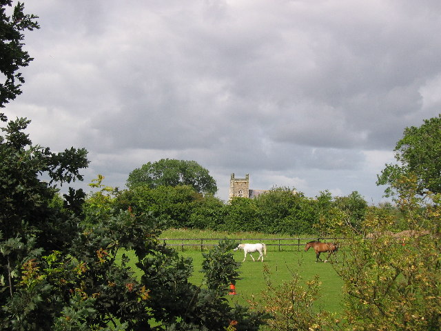
| Description |
English: Long Riston, East Riding of Yorkshire, England. This view from near the A165 (TA1394330) which passes to the west of the village. This is an old established farming community with some new housing. |
| Date | |
| Source | From geograph.org.uk |
| Author | Stephen Horncastle |
| Permission (Reusing this file) |
Creative Commons Attribution Share-alike license 2.0 |
| Attribution (required by the license) | Stephen Horncastle / Long Riston / |
| Object location | | View this and other nearby images on: OpenStreetMap |
|---|
_&language=en)
Licensing

|
This image was taken from the Geograph project collection. See this photograph's page on the Geograph website for the photographer's contact details. The copyright on this image is owned by Stephen Horncastle and is licensed for reuse under the Creative Commons Attribution-ShareAlike 2.0 license.
|
This file is licensed under the Creative Commons Attribution-Share Alike 2.0 Generic license.
Attribution: Stephen Horncastle
- You are free:
- to share – to copy, distribute and transmit the work
- to remix – to adapt the work
- Under the following conditions:
- attribution – You must give appropriate credit, provide a link to the license, and indicate if changes were made. You may do so in any reasonable manner, but not in any way that suggests the licensor endorses you or your use.
- share alike – If you remix, transform, or build upon the material, you must distribute your contributions under the same or compatible license as the original.
File history
Click on a date/time to view the file as it appeared at that time.
| Date/Time | Thumbnail | Dimensions | User | Comment | |
|---|---|---|---|---|---|
| current | 15:08, 30 January 2010 | | 640 × 480 (104 KB) | commons>GeographBot | == {{int:filedesc}} == {{Information |description={{en|1=Long Riston. This view from near the A165 (TA1394330) which passes to the west of the village. This is an old established farming community with some new housing. }} |date=2005-08-07 |source=From [h |
File usage
There are no pages that use this file.