File:Long Island Tasmania aerial.jpg
Jump to navigation
Jump to search

Size of this preview: 800 × 461 pixels. Other resolutions: 320 × 185 pixels | 640 × 369 pixels | 1,024 × 591 pixels | 1,569 × 905 pixels.
Original file (1,569 × 905 pixels, file size: 1.05 MB, MIME type: image/jpeg)
File history
Click on a date/time to view the file as it appeared at that time.
| Date/Time | Thumbnail | Dimensions | User | Comment | |
|---|---|---|---|---|---|
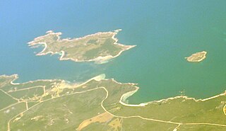
| current | 10:38, 8 January 2010 | | 1,569 × 905 (1.05 MB) | commons>Graeme Bartlett | {{Information |Description={{en|1=Long Island Tasmania just north of Cape Barren Island, with Doughboy Island on the right. Aerial view from south east}} |Source={{own}} |Author=Graeme Bartlett |Date=2009-12-21 |Permission= |othe |
File usage
There are no pages that use this file.