File:London-geographical-institute the-peoples-atlas 1920 poland-and-the-new-baltic-states.jpg
Jump to navigation
Jump to search

Size of this preview: 452 × 599 pixels. Other resolutions: 181 × 240 pixels | 362 × 480 pixels | 579 × 768 pixels | 772 × 1,024 pixels | 1,545 × 2,048 pixels | 3,012 × 3,992 pixels.
Original file (3,012 × 3,992 pixels, file size: 2.02 MB, MIME type: image/jpeg)
File history
Click on a date/time to view the file as it appeared at that time.
| Date/Time | Thumbnail | Dimensions | User | Comment | |
|---|---|---|---|---|---|
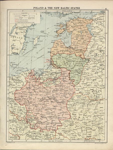
| current | 21:00, 9 July 2007 | | 3,012 × 3,992 (2.02 MB) | commons>Piotrus | {{Information |Description=Poland and the Baltic States, from London Geographical Institute - The Peoples Atlas - 1920. |Source=[http://www.hipkiss.org/data/maps/london-geographical-institute_the-peoples-atlas_1920_poland-and-the-new-baltic-states_3012_3 |
File usage
There are no pages that use this file.