File:Loire-Atlantique department relief location map.jpg
Jump to navigation
Jump to search
Size of this preview: 671 × 600 pixels. Other resolutions: 269 × 240 pixels | 537 × 480 pixels | 859 × 768 pixels | 1,101 × 984 pixels.
Original file (1,101 × 984 pixels, file size: 278 KB, MIME type: image/jpeg)
File history
Click on a date/time to view the file as it appeared at that time.
| Date/Time | Thumbnail | Dimensions | User | Comment | |
|---|---|---|---|---|---|
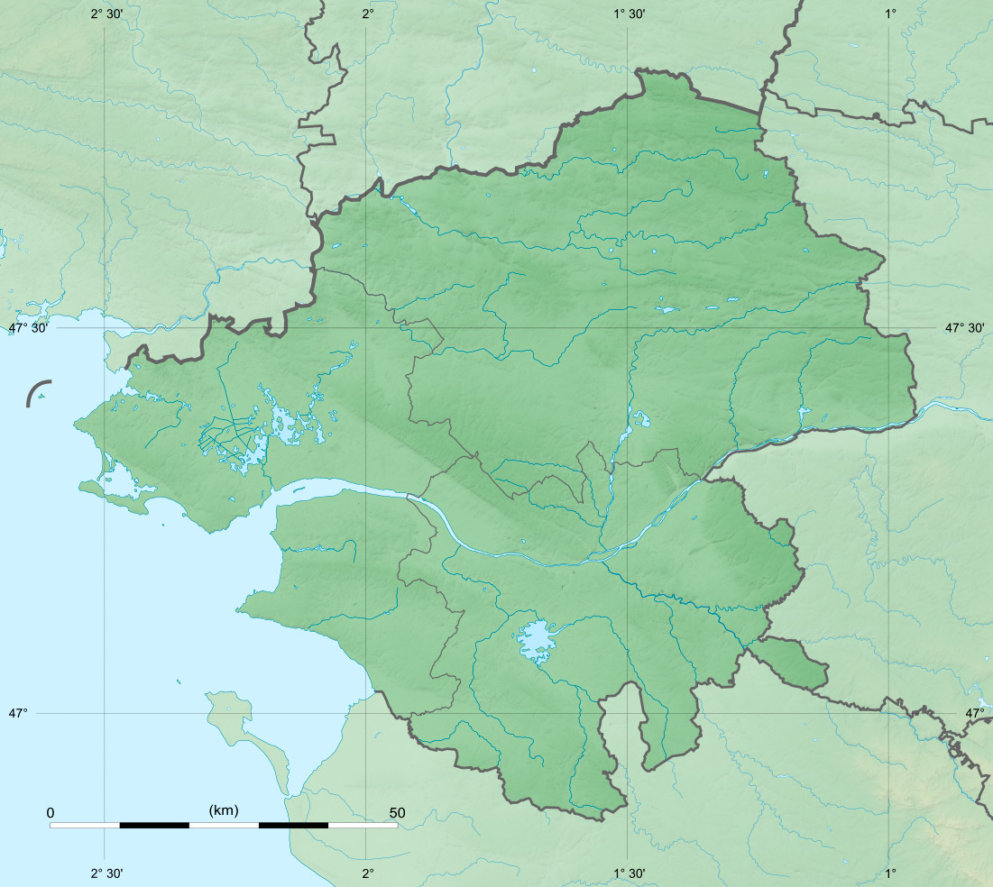
| current | 19:52, 11 February 2018 | | 1,101 × 984 (278 KB) | commons>Sting | == {{int:filedesc}} == {{Information |Description={{en|Blank physical map of the department of Loire-Atlantique, France, for geo-location purpose, with distinct boundaries for regions, departments and arrondissements as in Janu... |
File usage
There are no pages that use this file.