File:Loch Lomond Map c 1800.jpg
Jump to navigation
Jump to search
Size of this preview: 427 × 599 pixels. Other resolutions: 171 × 240 pixels | 342 × 480 pixels | 547 × 768 pixels | 730 × 1,024 pixels | 1,460 × 2,048 pixels | 3,616 × 5,072 pixels.
Original file (3,616 × 5,072 pixels, file size: 3.82 MB, MIME type: image/jpeg)
File history
Click on a date/time to view the file as it appeared at that time.
| Date/Time | Thumbnail | Dimensions | User | Comment | |
|---|---|---|---|---|---|
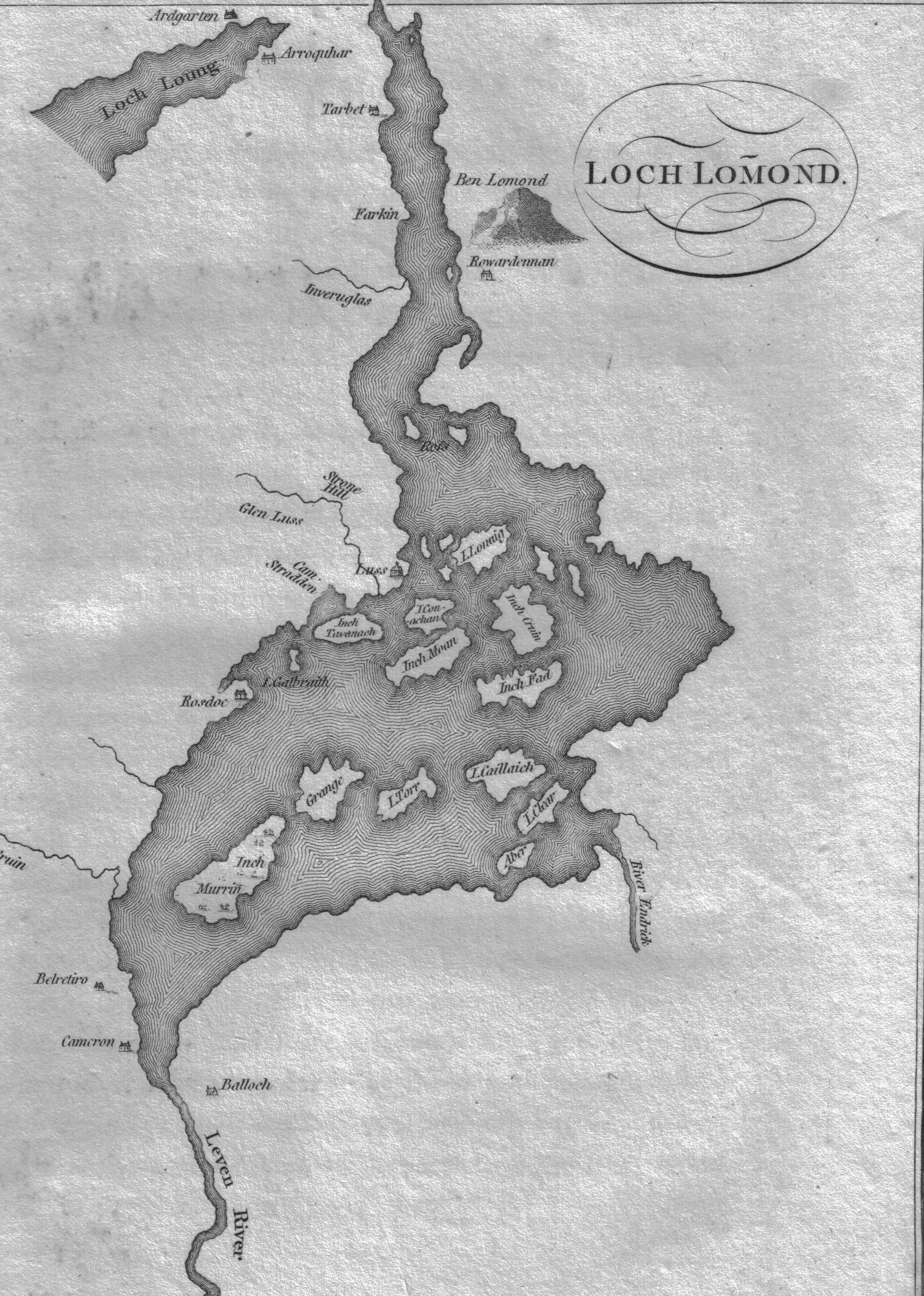
| current | 18:02, 15 June 2009 | | 3,616 × 5,072 (3.82 MB) | commons>Rosser1954 | {{Information |Description={{en|1=A map of Loch Lomond showing the islands and rivers. Circa 1800. Scotland.}} |Source=Garnetts Tour of Scotland. 1800. |Author=Roger Griffith |Date=2009/06/14 |Permission= |other_versions= }} <!--{{ImageUpload|full}}--> [ |
File usage
There are no pages that use this file.