File:Locator map of the Duchy of Bouillon (1560).svg
Jump to navigation
Jump to search

Size of this PNG preview of this SVG file: 800 × 530 pixels. Other resolutions: 320 × 212 pixels | 640 × 424 pixels | 1,024 × 678 pixels | 1,280 × 848 pixels | 2,560 × 1,695 pixels | 5,029 × 3,330 pixels.
Original file (SVG file, nominally 5,029 × 3,330 pixels, file size: 576 KB)
.svg)
File history
Click on a date/time to view the file as it appeared at that time.
| Date/Time | Thumbnail | Dimensions | User | Comment | |
|---|---|---|---|---|---|
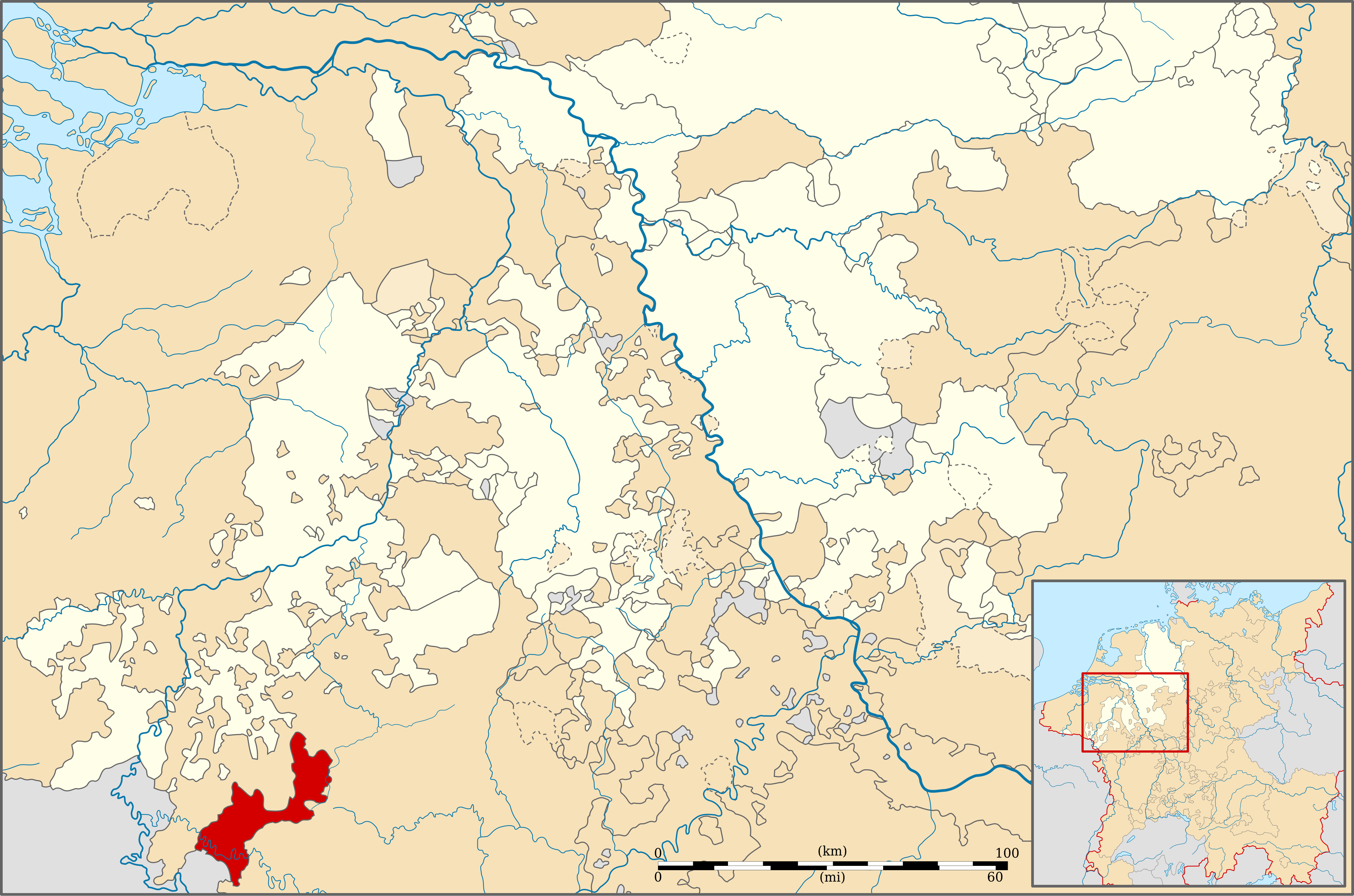
| current | 22:31, 11 December 2010 | | 5,029 × 3,330 (576 KB) | commons>Sir Iain | {{Information |Description=Locator map of the Duchy of Boulion (1560) |Source=Geschichtlicher Handatlas von Westfalen (1975) |Date=13/09/2010 |Author=Sir Iain |Permission= |other_versions= }} {{cc-by-sa-3.0}} [[Category:Maps of territories in the Westphal |
File usage
There are no pages that use this file.
.svg)