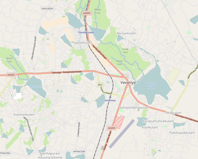
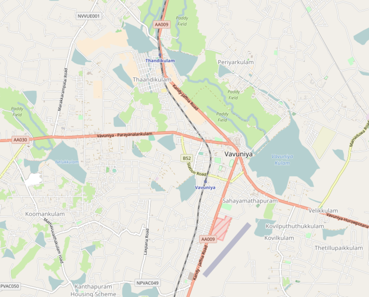
File:Location map of greater Vavuniya.png
Jump to navigation
Jump to search
Size of this preview: 744 × 599 pixels. Other resolutions: 298 × 240 pixels | 596 × 480 pixels | 828 × 667 pixels.
Original file (828 × 667 pixels, file size: 350 KB, MIME type: image/png)
File history
Click on a date/time to view the file as it appeared at that time.
| Date/Time | Thumbnail | Dimensions | User | Comment | |
|---|---|---|---|---|---|
| current | 11:13, 23 August 2017 | | 828 × 667 (350 KB) | commons>Obi2canibe | {{OpenStreetMap| | name = Vavuniya | location = Vavuniya | description = {{en|1=Map of greater Vavuniya, Sri Lanka.}} | top = 8.7888 | bottom = 8.7319 | left = 80.4539 | right = 80... |
File usage
There are no pages that use this file.