File:Location map Gaza.png
Jump to navigation
Jump to search

Size of this preview: 566 × 599 pixels. Other resolutions: 227 × 240 pixels | 453 × 480 pixels | 921 × 975 pixels.
Original file (921 × 975 pixels, file size: 589 KB, MIME type: image/png)
| Description |
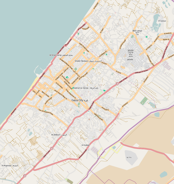
English: Map of Gaza.
Geographic limits of the map:
This file is licensed under the Creative Commons Attribution-Share Alike 2.0 Generic license.
|
| Date | |
| Source | OpenStreetMap |
| Author | Dr. Blofeld |
File history
Click on a date/time to view the file as it appeared at that time.
| Date/Time | Thumbnail | Dimensions | User | Comment | |
|---|---|---|---|---|---|
| current | 21:37, 28 February 2011 | | 921 × 975 (589 KB) | commons>Blofeld Dr. | {{Information |Description ={{en|1=y}} |Source =y |Author =y |Date =y |Permission = |other_versions = }} |
File usage
There are no pages that use this file.