File:Location-map-upernavik-archipelago.png
Jump to navigation
Jump to search

Size of this preview: 232 × 598 pixels. Other resolution: 300 × 773 pixels.
Original file (300 × 773 pixels, file size: 114 KB, MIME type: image/png)
File history
Click on a date/time to view the file as it appeared at that time.
| Date/Time | Thumbnail | Dimensions | User | Comment | |
|---|---|---|---|---|---|
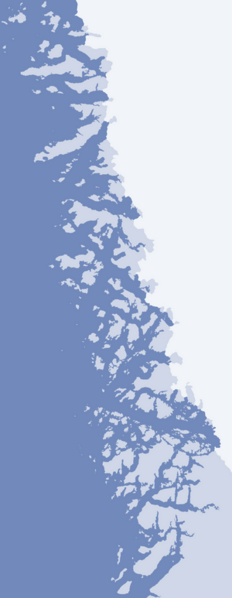
| current | 14:23, 17 August 2010 | 300 × 773 (114 KB) | commons>Algkalv | {{Information |Description=Upernavik Archipelago. Geographic limits of the map: * N: 74.8027778 * S: 72.05 * W: -57.85 * E: -54.083 |Source=OpenStreetMap |Date=2010-08-17 |Author= Algkalv ([[User talk:Algkalv|<span |
File usage
There are no pages that use this file.