File:Lincolnshire UK location map.svg
Jump to navigation
Jump to search

Size of this PNG preview of this SVG file: 499 × 600 pixels. Other resolutions: 200 × 240 pixels | 399 × 480 pixels | 639 × 768 pixels | 852 × 1,024 pixels | 1,704 × 2,048 pixels | 1,086 × 1,305 pixels.
Original file (SVG file, nominally 1,086 × 1,305 pixels, file size: 2.71 MB)
File history
Click on a date/time to view the file as it appeared at that time.
| Date/Time | Thumbnail | Dimensions | User | Comment | |
|---|---|---|---|---|---|
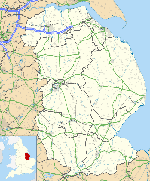
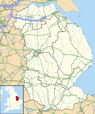
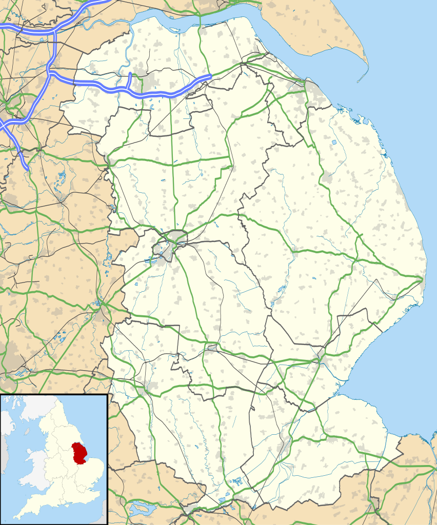
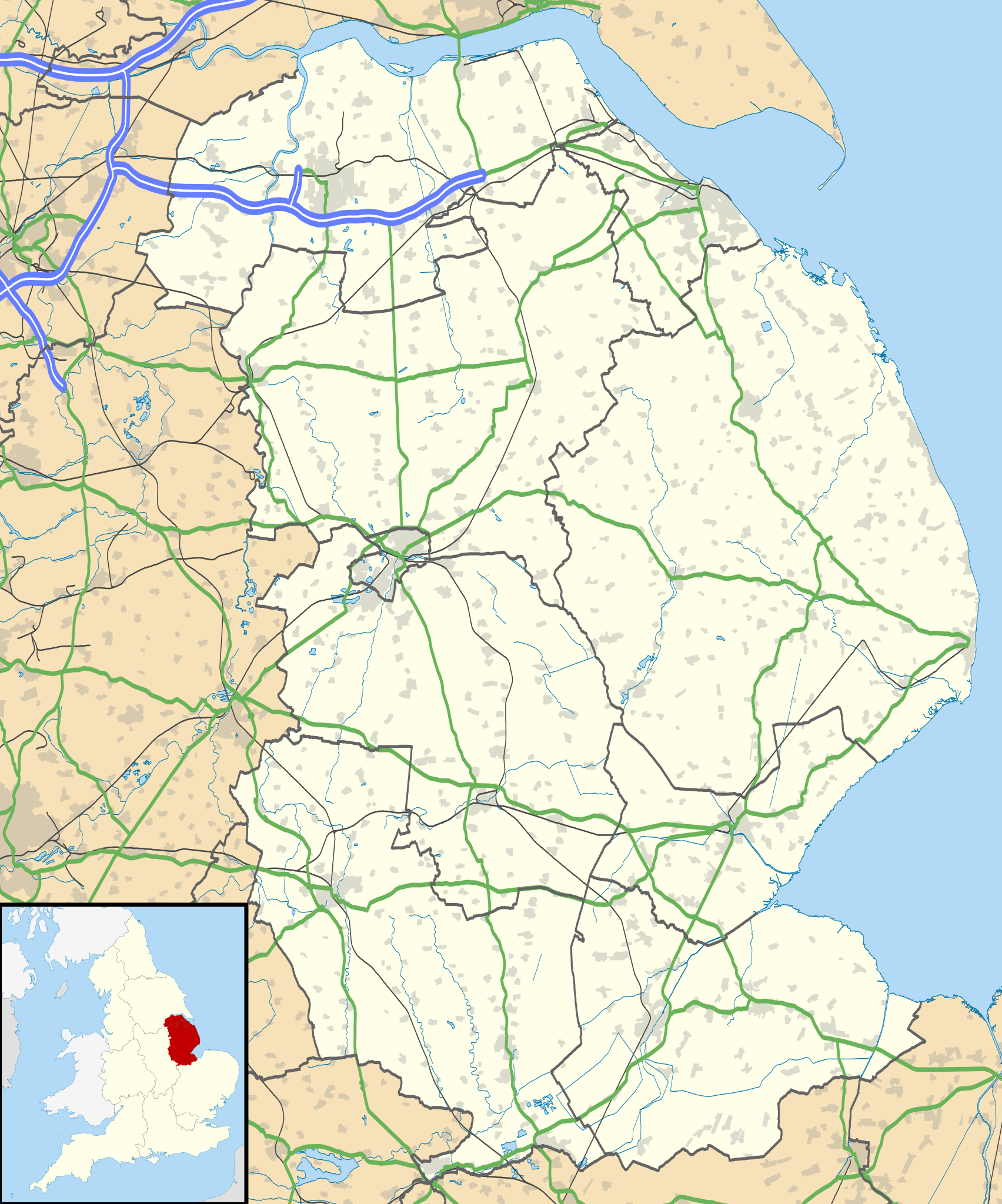
| current | 19:01, 26 September 2010 | | 1,086 × 1,305 (2.71 MB) | commons>Nilfanion | {{Information |Description=Map of Lincolnshire, UK with the following information shown: *Administrative borders *Coastline, lakes and rivers *Roads and railways *Urban areas Equirectangular map projection on WGS 84 datum, with N/S str |
File usage
There are no pages that use this file.