File:Limpopo watershed topo.png
Jump to navigation
Jump to search
Size of this preview: 800 × 570 pixels. Other resolutions: 320 × 228 pixels | 640 × 456 pixels | 1,024 × 730 pixels | 1,150 × 820 pixels.
Original file (1,150 × 820 pixels, file size: 591 KB, MIME type: image/png)
File history
Click on a date/time to view the file as it appeared at that time.
| Date/Time | Thumbnail | Dimensions | User | Comment | |
|---|---|---|---|---|---|
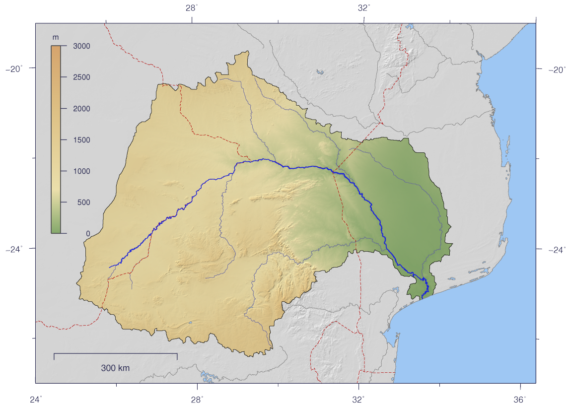
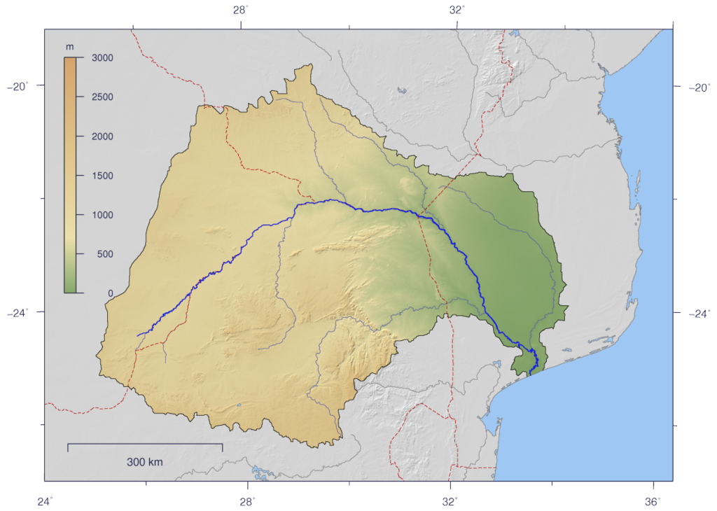
| current | 15:10, 25 February 2007 | | 1,150 × 820 (591 KB) | commons>Imagico | {{Information |Description= {{en|Course and Watershed of the Limpopo River with topography shading and political boundaries.}} {{de|Verlauf und Einzugsgebiet des Limpopo mit Reliefschattierung und Staatsgrenzen.}} |Source=The map has been created with the |
File usage
There are no pages that use this file.