File:Liberia Counties.png
Jump to navigation
Jump to search
No higher resolution available.
Liberia_Counties.png (408 × 418 pixels, file size: 10 KB, MIME type: image/png)
File history
Click on a date/time to view the file as it appeared at that time.
| Date/Time | Thumbnail | Dimensions | User | Comment | |
|---|---|---|---|---|---|
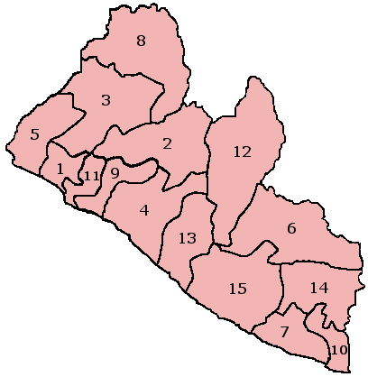
| current | 16:21, 19 January 2006 | | 408 × 418 (10 KB) | commons>Lipothymia | Numbered County Map of Liberia; created with the GIMP. Made by User:Acntx. {{GFDL}} (grabbed from en:) Category:Liberia |
File usage
There are no pages that use this file.