File:Lens Creek WV map.png
Jump to navigation
Jump to search

Size of this preview: 800 × 578 pixels. Other resolutions: 320 × 231 pixels | 640 × 462 pixels | 1,024 × 740 pixels | 1,280 × 925 pixels | 2,560 × 1,850 pixels | 3,186 × 2,302 pixels.
Original file (3,186 × 2,302 pixels, file size: 5.2 MB, MIME type: image/png)
File history
Click on a date/time to view the file as it appeared at that time.
| Date/Time | Thumbnail | Dimensions | User | Comment | |
|---|---|---|---|---|---|
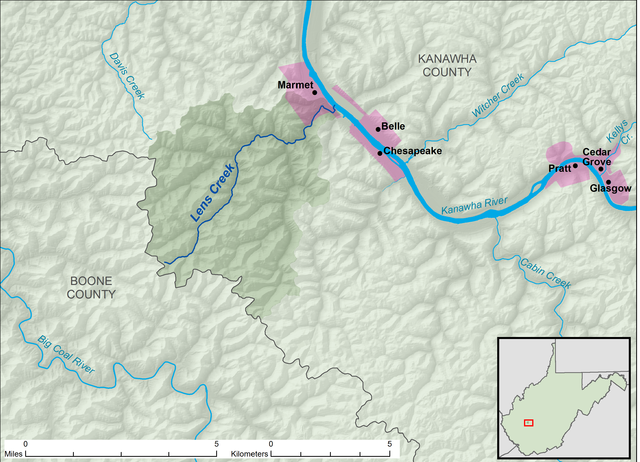
| current | 19:00, 24 November 2013 | | 3,186 × 2,302 (5.2 MB) | commons>TimK MSI | {{Information |Description ={{en|1=A map of Lens Creek and its watershed (USGS HUC-12 code 050500060402), in Kanawha County, West Virginia.}} |Source =Own work, data from [[w:The Nationa... |
File usage
There are no pages that use this file.