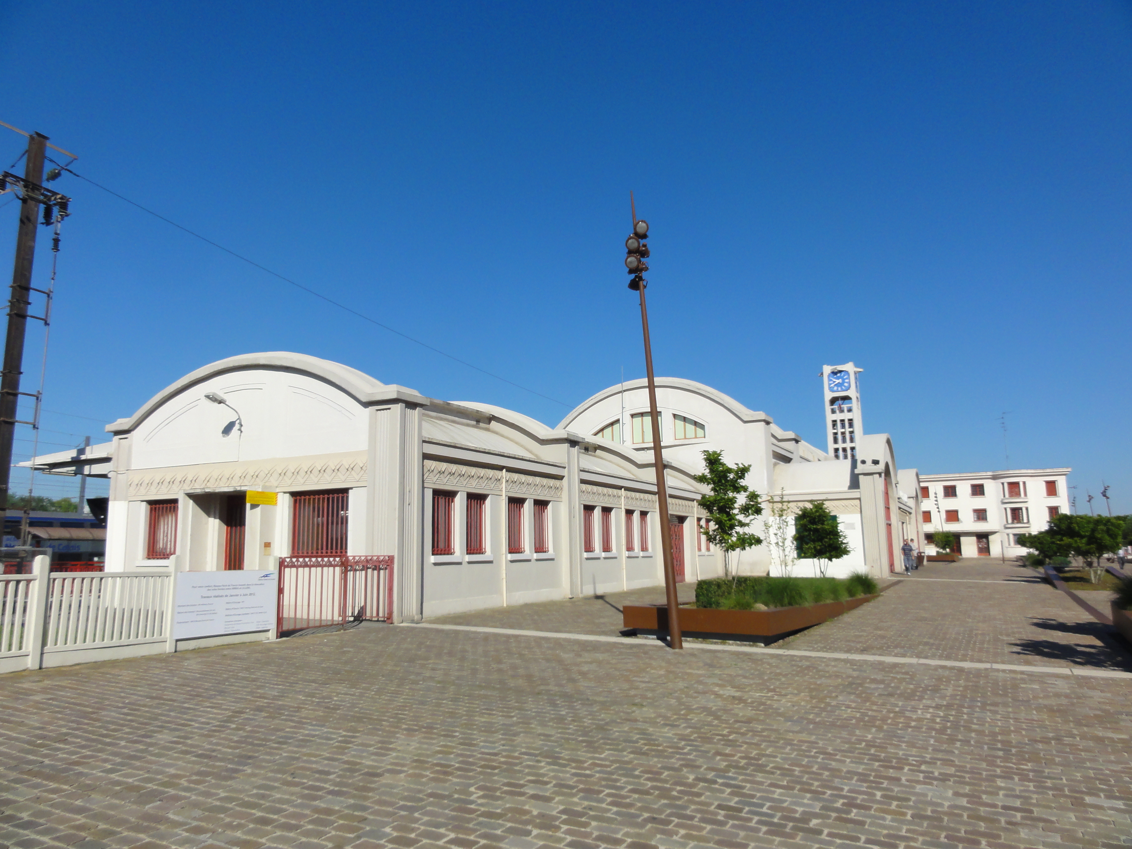
File:Lens - Gare de Lens (13).JPG
Original file (3,648 × 2,736 pixels, file size: 3.84 MB, MIME type: image/jpeg)
This file is from a shared repository and may be used by other projects. The description on its file description page there is shown below.
Summary
DescriptionLens - Gare de Lens (13).JPG |
|
|||||||||||||||||||||||
Date | ||||||||||||||||||||||||
Source | Own work | |||||||||||||||||||||||
Author |
creator QS:P170,Q58229383 |
|||||||||||||||||||||||
Permission (Reusing this file) |
I, the copyright holder of this work, hereby publish it under the following license: This file is licensed under the Creative Commons Attribution-Share Alike 3.0 Unported license.
| |||||||||||||||||||||||
Attribution (required by the license) InfoField | Jérémy-Günther-Heinz Jähnick / Lens - Gare de Lens (13) / Wikimedia Commons / | |||||||||||||||||||||||
InfoField | Jérémy-Günther-Heinz Jähnick / Lens - Gare de Lens (13) / Wikimedia Commons |
Camera location | 50° 25′ 35.94″ N, 2° 49′ 44.06″ E | View this and other nearby images on: OpenStreetMap | 50.426650; 2.828905 |
---|
Items portrayed in this file
depicts
24 July 2012
50°25'35.94000"N, 2°49'44.05699"E
File history
Click on a date/time to view the file as it appeared at that time.
Date/Time | Thumbnail | Dimensions | User | Comment | |
---|---|---|---|---|---|
current | 10:27, 8 September 2012 | 3,648 × 2,736 (3.84 MB) | commons>Jérémy-Günther-Heinz Jähnick |
File usage
There are no pages that use this file.
Metadata
This file contains additional information, probably added from the digital camera or scanner used to create or digitize it.
If the file has been modified from its original state, some details may not fully reflect the modified file.
Camera manufacturer | SONY |
---|---|
Camera model | DSC-HX5V |
Exposure time | 1/500 sec (0.002) |
F Number | f/8 |
ISO speed rating | 125 |
Date and time of data generation | 09:40, 24 July 2012 |
Lens focal length | 4.25 mm |
Latitude | 50° 25′ 35.94″ N |
Longitude | 2° 49′ 44.06″ E |
Altitude | 30.2 meters above sea level |
Orientation | Normal |
Horizontal resolution | 72 dpi |
Vertical resolution | 72 dpi |
File change date and time | 09:40, 24 July 2012 |
Y and C positioning | Co-sited |
Exposure Program | Normal program |
Exif version | 2.21 |
Date and time of digitizing | 09:40, 24 July 2012 |
Meaning of each component |
|
Image compression mode | 4 |
APEX exposure bias | 0 |
Maximum land aperture | 3.625 APEX (f/3.51) |
Metering mode | Pattern |
Light source | Unknown |
Flash | Flash did not fire, auto mode |
Supported Flashpix version | 1 |
Color space | sRGB |
File source | Digital still camera |
Scene type | A directly photographed image |
Custom image processing | Normal process |
Exposure mode | Auto exposure |
White balance | Auto white balance |
Scene capture type | Landscape |
Contrast | Normal |
Saturation | Normal |
Sharpness | Normal |
GPS time (atomic clock) | 07:40 |
Receiver status | Measurement in progress |
Measurement mode | 3-dimensional measurement |
Speed unit | Kilometers per hour |
Speed of GPS receiver | 0.6 |
Reference for direction of movement | True direction |
Direction of movement | 185.61 |
Reference for direction of image | Magnetic direction |
Direction of image | 277 |
Geodetic survey data used | WGS-84 |
GPS date | 24 July 2012 |
GPS differential correction | 0 |
GPS tag version | 0.0.2.2 |