File:LeasideRoadMap1913HighlightedInGreen.jpg
Jump to navigation
Jump to search
Size of this preview: 800 × 594 pixels. Other resolutions: 320 × 237 pixels | 640 × 475 pixels | 830 × 616 pixels.
Original file (830 × 616 pixels, file size: 443 KB, MIME type: image/jpeg)
File history
Click on a date/time to view the file as it appeared at that time.
| Date/Time | Thumbnail | Dimensions | User | Comment | |
|---|---|---|---|---|---|
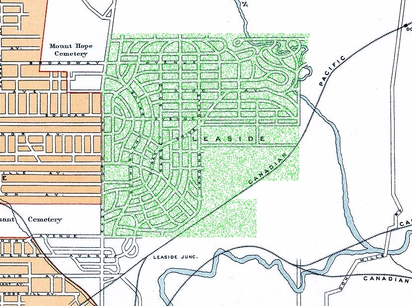
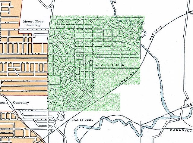
| current | 15:03, 1 October 2007 | | 830 × 616 (443 KB) | commons>WilyD | {{Information |Description=Leaside Area, from the National Atlas of Canada's 2nd edition |Modification=Green Highlighting of Leaside added by WilyD |Source= National Atlas of Canada, 2nd Edition, available online [http://atlas.nrcan.gc.ca/site/english/map |
File usage
There are no pages that use this file.