File:Le Doubs (carte).jpg
Jump to navigation
Jump to search

Size of this preview: 554 × 600 pixels. Other resolutions: 222 × 240 pixels | 628 × 680 pixels.
Original file (628 × 680 pixels, file size: 142 KB, MIME type: image/jpeg)
.jpg)
File history
Click on a date/time to view the file as it appeared at that time.
| Date/Time | Thumbnail | Dimensions | User | Comment | |
|---|---|---|---|---|---|
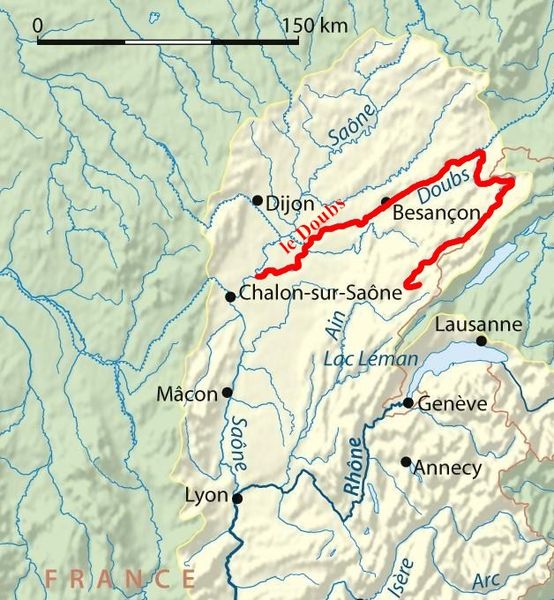
| current | 13:05, 12 March 2009 | | 628 × 680 (142 KB) | commons>PRA | {{Information |Description={{fr|1=surlignage du tracé de la rivière Doubs (affluent de la Saône) - France}} |Source=Adapté de Image:Rhone bassin versant.png réalisé par User:NordNordWest en mars 2008. |Author=PRA |Date=mars 200 |
File usage
There are no pages that use this file.
.jpg)