File:Laguna Cáceres Bolivia Satelital map 57.75960W 18.png
Jump to navigation
Jump to search

Size of this preview: 800 × 556 pixels. Other resolutions: 320 × 222 pixels | 640 × 445 pixels | 1,024 × 711 pixels | 1,150 × 799 pixels.
Original file (1,150 × 799 pixels, file size: 2.08 MB, MIME type: image/png)
File history
Click on a date/time to view the file as it appeared at that time.
| Date/Time | Thumbnail | Dimensions | User | Comment | |
|---|---|---|---|---|---|
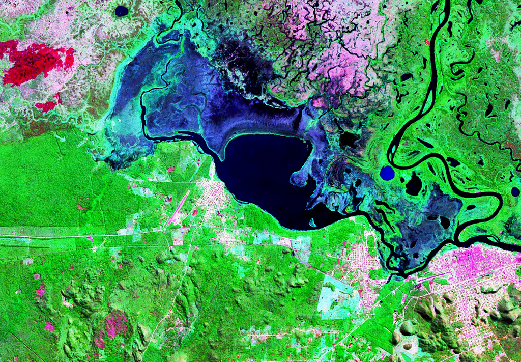
| current | 20:52, 16 September 2007 | | 1,150 × 799 (2.08 MB) | commons>Paris88 | {{Information |Description= Mapa satelital de la laguna Cáceres Bolivia, ademas de las manchas urbanas de las ciudades de Puerto Suárez (Bolivia) y Corumbá (Brasil). |Source= Nasa WorldWind |Date= |Author= NASA |Permission= see below |other_versions= } |
File usage
There are no pages that use this file.