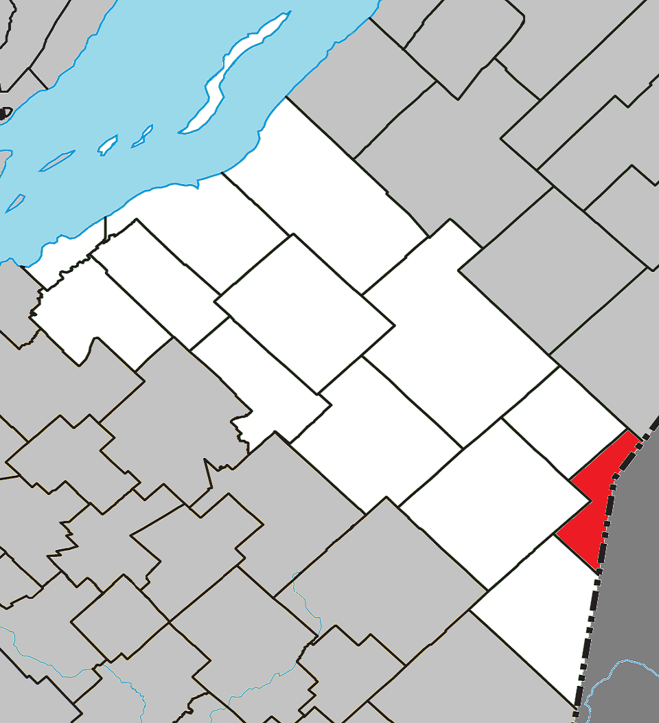
File:Lac-Frontière Quebec location diagram.png
Jump to navigation
Jump to search
Size of this preview: 547 × 600 pixels. Other resolutions: 219 × 240 pixels | 438 × 480 pixels | 960 × 1,053 pixels.
Original file (960 × 1,053 pixels, file size: 336 KB, MIME type: image/png)
File history
Click on a date/time to view the file as it appeared at that time.
| Date/Time | Thumbnail | Dimensions | User | Comment | |
|---|---|---|---|---|---|
| current | 15:47, 12 April 2013 | | 960 × 1,053 (336 KB) | commons>Gordalmighty | User created page with UploadWizard |
File usage
There are no pages that use this file.